I’m traveling at the moment so i often find myself pulling my laptop out on the train where internet is patchy.
So I’ve found myself setting up more stuff to work locally.
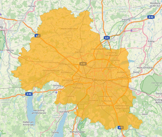
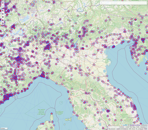
Thats how I found myself trying to compile and run a local copy of the Overpass API for querying open street map data… on a Mac. I’m typing this on my phone from memory so will provide references and corrections later when back at my laptop. #OSM #overpass #overpassturbo #overpassapi #openstreetmap
So I’ve found myself setting up more stuff to work locally.
Thats how I found myself trying to compile and run a local copy of the Overpass API for querying open street map data… on a Mac. I’m typing this on my phone from memory so will provide references and corrections later when back at my laptop. #OSM #overpass #overpassturbo #overpassapi #openstreetmap