Another thing I have been working on with my vector map style is adding a lot of (informative) texture, in the form of fill-patterns. Graphics from the amazing #openStreetMap community of course, and mostly works fine in my context.
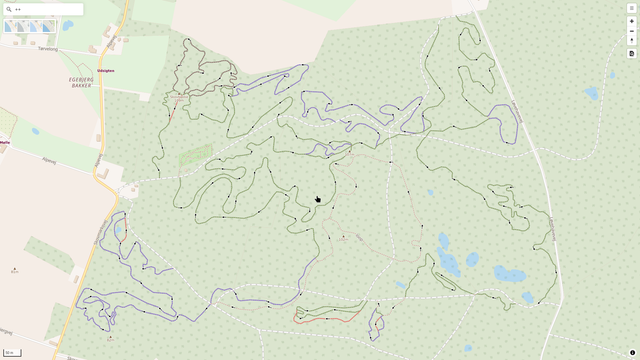
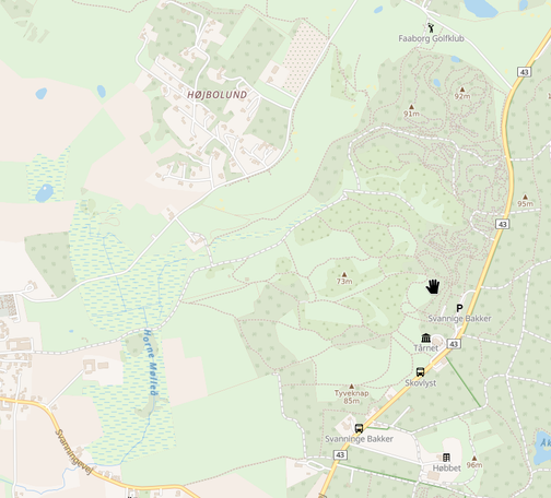
1. Wood, scrub, wetland and a small plant nursery field middle top, near Faaborg, Denmark. Oh, and not the "mountain" peaks - text only display ;)
2. Vineyards, orchards, wood, Pitesti, Romania.
3. Wetland, wood, Le Verdon Sur Mer, France (north of Bordeaux). As far as wetlands, the #openMapTiles schema fails to use the wetland=* tag to add a subclass, so there is only one of the patterns in use (so far? 😇) - wetmeadow, mangrove, marsh, reedbeed etc are all the same for now.
Due to the way #mapLibreGL renders the patterns - they are applied at whole zoom steps, then scaled, those meant for sand, scree and such does not make sense. But for the rest, I find this beautiful, and it does actually work quite smoothely!