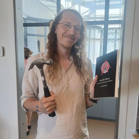
Recently we had a wide ranging conversation with political theorist Martin Jacobson about #geoism, #anarchism, #LVT, #effectivealtruism, #animalrights, #StarTrek, and more. 🏴
Check it out! 👇
🔗 https://pod.link/1499036871/episode/dGFnOnNvdW5kY2xvdWQsMjAxMDp0cmFja3MvMjMxNTk5OTExNA