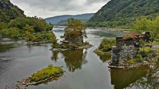
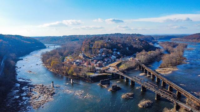
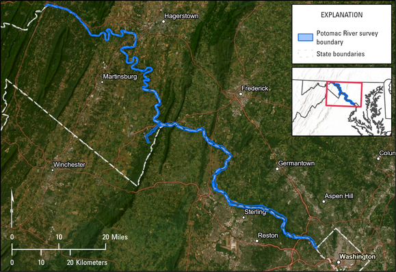
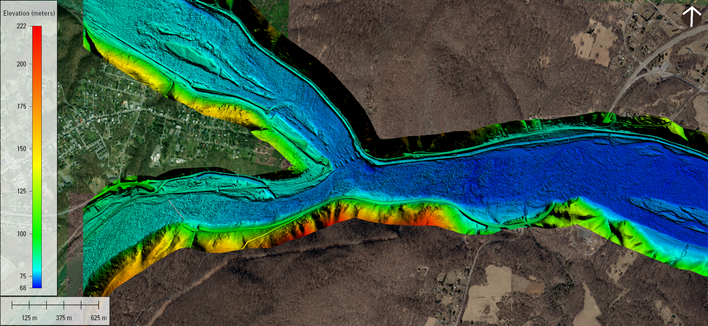
A new topobathymetric lidar dataset for the Potomac River from the #USGS 3D Elevation Program (3DEP) is available for download. Uses: estimating concentrations of contaminant plumes; engineering for bridges and roads; mapping aquatic habitats for biological assessments; and flood mapping.
https://www.usgs.gov/news/technical-announcement/new-usgs-national-map-data-reveals-potomac-rivers-submerged-topography
#ICPRB #potomacriver #3dep #lidar #gischat #bathymetry #TopographyTuesday
New USGS National Map data reveals the Potomac River’s submerged topography | U.S. Geological Survey
The U.S. Geological Survey recently published a new topobathymetric lidar dataset for the Potomac River as part of its 3D Elevation Program (3DEP).
New USGS National Map data reveals the Potomac River’s submerged topography | U.S. Geological Survey
The U.S. Geological Survey recently published a new topobathymetric lidar dataset for the Potomac River as part of its 3D Elevation Program (3DEP).