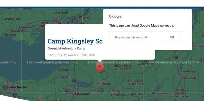
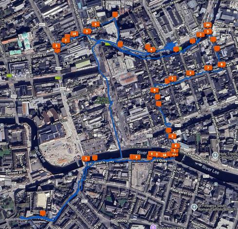
What is the answer to the question in the map image? What is the question in the image?
#GeoTag
#GeoTag
Rainbow by jarnasen
https://tmblr.co/Z7VXvxiyniBpie00
#nikon #laowa #10mm #sweden #sverige #sky #scandinavia #sunlight #sunset #shadows #rain #rainbow #perspective #pov #pier #geo #geotag #gallery #golden #goldenhour #copyright #clouds #color #colourful #composition #cloudy #järnåsen #jarnasen #jetty #lygnern

Agregue datos de ubicación a sus fotos sin esfuerzo con #Kaida ("dónde" en tártaro), una aplicación universal de geoetiquetado fotográfico. Ya sea que esté organizando recuerdos de viaje, documentando aventuras de senderismo o archivando su colección de fotografías, kaida proporciona una forma perfecta de agregar coordenadas #GPS a sus fotos utilizando datos de pista #GPX o rutas de entrenamiento. https://apps.apple.com/es/app/kaida-photos-geotagging/id6748287256
Check out our new tutorial and learn how to share an address or point of interest with NFC Tools!
https://youtu.be/kKfY8KMZg0Q

Geotag your photos in Lightroom Classic
Geotagging your photos means adding location data to the image so they can be displayed on a map. Be aware that doing so might reveal sensitive information you’d rather keep secret like your home address.
You can of course remove location data when you export images, like I did with the images in this post.
Anyway, here is how I geotag my photos.
For photos I’ve already taken, I use Google Timeline and export it from my Google account using Google Takeout. You’ll get a rather large “Recent.json” file out of that. To convert that file into a format usable by Lightroom Classic, use this Python script which I’ve already covered in this post.
When I go out with my camera now I use the Anrdoid app, OpenTracks. It’s a free app you can grab from f-droid, but there’s also a paid version on the Google Play Store if you want to support the developer. You can also use GPSLogger, a free app that has the advantage of being able to save your .gps files to Dropbox or Google Drive.
On iOS, the myTracks app appears to do a similar job but I can’t test it. Please comment if you have tried it or know of decent alternatives.
To geotag your photos in Lightroom Classic, the Adobe documentation on the subject is excellent. Once you’ve opened the Map Module and done it once it’s easy to do again. When you geotag your photos, the Map Module will look like this.
There is also Jeffrey’s “Geoencoding Support” Plugin for Lightroom that I’ve used for years but maybe it’s because of changes to LrC in recent years, it’s gotten really slow for me. I usually use the built in LrC functionality in the Maps module.
Geotag là gì? Góc nhìn từ chiến lược tiếp thị địa phương
Geotag không chỉ là công cụ kỹ thuật mà còn là một phần quan trọng trong chiến lược tiếp thị tại địa phương.
Kết hợp geotag với nội dung bản địa hóa, tối ưu Google Maps và chiến dịch mạng xã hội sẽ giúp doanh nghiệp mở rộng tệp khách hàng, tăng doanh thu và xây dựng thương hiệu vững mạnh trong khu vực.
>>Xem thêm: https://autoranker.net/geotag-anh/
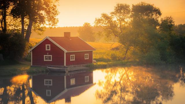
Red house by jarnasen
https://tmblr.co/Z7VXvxgr9ecHmq00
#sweden #sverige #scandinavia #sunrise #sunlight #smooth #autumn #atmosphere #nature #nordiclandscape #nordic #nopeople #house #red #morning #mood #mist #järnåsen #jarnasen #östergötland #outdoor #yellow #reflections #water #wide #geo #geotag #gallery #golden #goldenhour
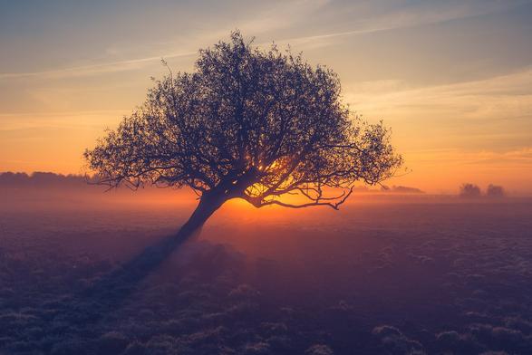
Tree mist by jarnasen
https://tmblr.co/Z7VXvxgdbunr8i00
#d810 #nikon #tripod #tree #sweden #sverige #scandinavia #sky #sunrise #sunlight #smooth #shadows #dawn #dof #dimma #morning #mood #mist #fog #field #sun #scenery #geo #geotag #gallery #grass #golden #goldenhour #östergötland #outdoor