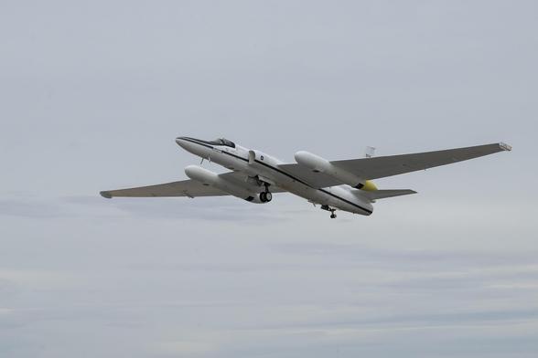
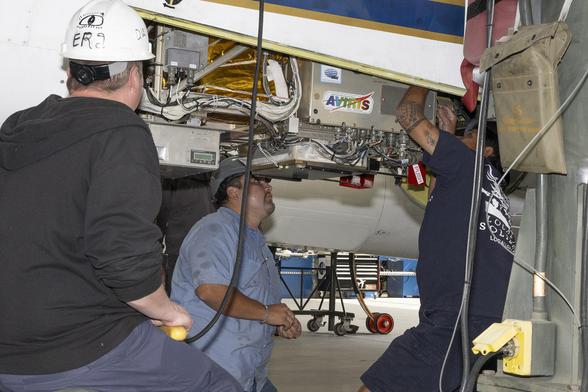
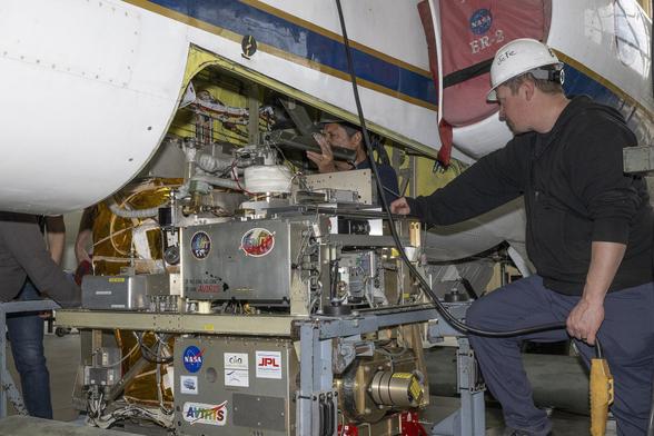
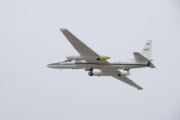
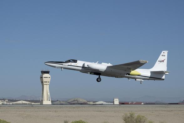
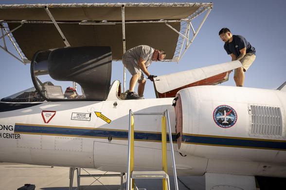
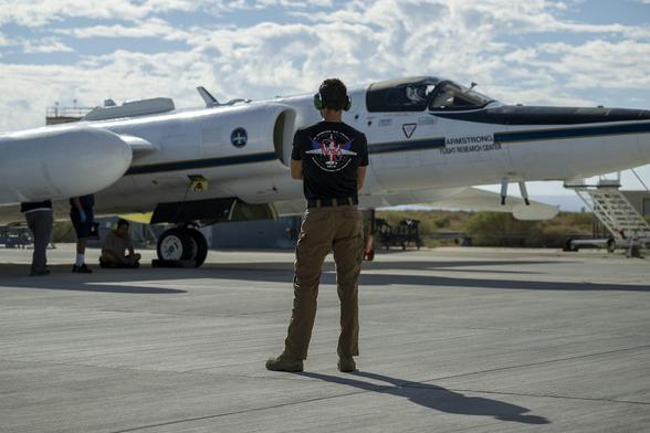
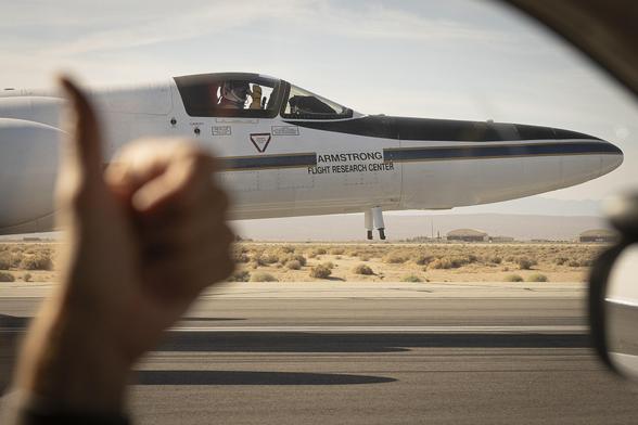
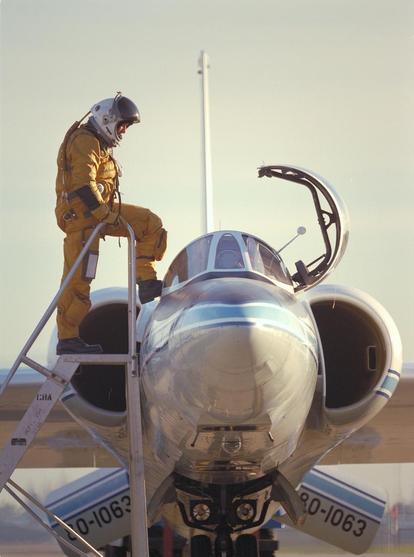
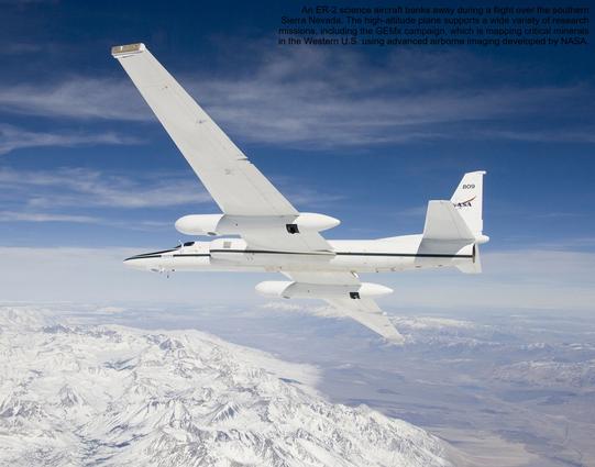
NASA Flights Map Critical Minerals from Skies Above Western US

Technology used to chart other worlds is revealing minerals in the American West that are critical to the country’s renewable energy future.

NASA Science
高高度ER-2飛行で地上データを取得
https://www.nasa.gov/centers-and-facilities/armstrong/high-altitude-er-2-flights-get-down-to-earth-data/

NASAのER-2航空機は地上99%以上の高度で活動し、地球科学のプラットフォームとして活躍。PACE-PAXやGEMxなどのプロジェクトで重要な役割を果たし、新たな地球観測情報を提供している。
#NASA #ER2 #PACEPAX #GEMx
High-Altitude ER-2 Flights Get Down-to-Earth Data - NASA

Operating at altitudes above 99% of the Earth’s atmosphere, NASA’s ER-2 aircraft is the agency's highest-flying airborne science platform. With its unique

NASA

@hkz Wow. I remember picking up a boxed copy of this along with #GemX for my #AtariST about 12 years ago.

I don't remember much about it. Probably because I was addicted to Gem'X and played it for months.