I've been trying to use the #GitShipDone (#GSD) `map-codebase` workflow to test agentic models on my mish mash of #localai servers.
I had been using #opencode. And every model would send itself off the rails or to a hard stop: struggling with opencodes' tools.
So, because what I care about is the model performance and quality, not the harness; and the only requirement is that GSD works in it....
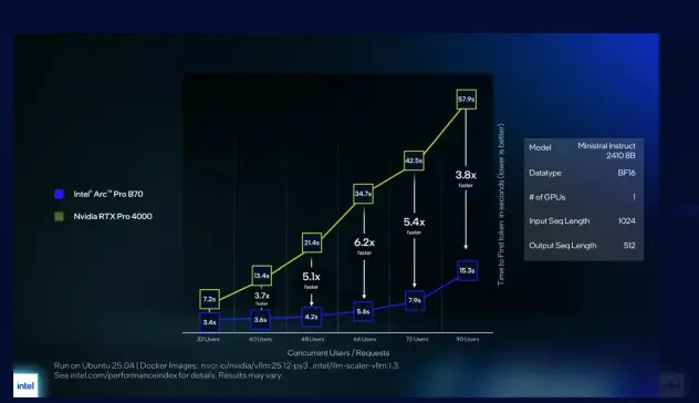
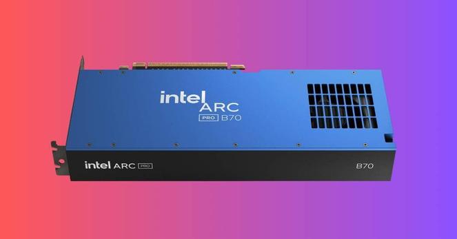
On todays episode of #CheatingToWin : Using #OpenClaude to launch `/gsd-map-codebase` across parallel agents on Qwen 3.6 MoE with MTP at MXFP4 on an 11th gen i7 11700K, 64gb DDR4 and the #Intel #ArcPro B70 on #cachyos (via ssh, because its the only distro I can get the B70 to work on 😁)
It even recovered from a problem!