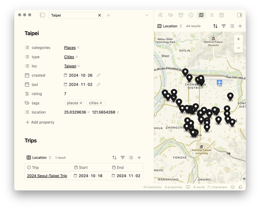
How to lie with maps. I suddenly remembered quite late this evening that it's already November! Have you ever had a lot of points and wondered how to best display them? Here is an webmap of gun deaths for Cook County, Illinois playing with three approaches with varying levels of deception. #30DayMapChallenge #Points

Joseph Kempf
- 172 Followers
- 370 Following
- 217 Posts
Geospatial Geek. Passionate advocate of #FOSS4G, #TheSpatialCommunity, #OpenStreetMap, #GISchat, & #geospatial
#30DayMapChallenge Day 1: Points
I mapped the tiny pene-exclave of Point Roberts, accessible only by water or by crossing an international boundary. I chose a modified antique style. I enjoy that this little bit of the US is nesteled by our 🇨🇦 neighbors.
I mapped the tiny pene-exclave of Point Roberts, accessible only by water or by crossing an international boundary. I chose a modified antique style. I enjoy that this little bit of the US is nesteled by our 🇨🇦 neighbors.
#30daymapchallenge Day 17 (collaboration): OpenStreetMap Nodes of Leipzig Zentrum, coloured by user who edited them most recently. The way I see it, every map using OSM-Data is collaborative, but it's hard to show just how much of a collaboration it is. As of March 2025 there are 452 different users who last edited a node in this area, disregarding ways and relations. Colours were chosen at random by QGIS.

Incredible writeup from @pinakographos on how to make stylised terrain relief. Just in time for #30DayMapChallenge !
day 1 Points
Approximating housing density using UPRNs (unique postal delivery addresses)
Done using a pointillist technique, distributing points evenly over building outlines
more info (and zoomed in detail) in reply
Data from OS Open ZoomStack crown copyright and database rights
1/2 🧵
Changez de point de vue, la France n’en manque pas ! 🤩
Souvent symbolisés par une fleur à 10 pétales, ces sites ponctuent de rose les cartes topographiques de l'IGN.
Retrouvez toutes les cartes de nos agents à l'occasion du challenge : https://www.ign.fr/mag/30DayMapChallenge-30-jours-30-cartes-pour-celebrer-la-creativite-cartographique
#30DayMapChallenge – J1 #POINTS
✍️ Benjamin SAGLIO
📊 BD TOPO ®
We have beautiful geospatial emojis in the mapstodon.space
#ArcGIS 
#cog 
#gdal 
#GoogleEarth 
#EarthEngine 
#geopandas 
#grassgis 
#NumPy 
#osgeo 
#OpenStreetMap 
#pandas 
#PostGIS 
#Postgres 
#QGIS 
#RStats 
It's been a long journey (over year since I began), but there's finally now a first public release of the oblique hachures method. With many thanks to @SouthArrowMaps, who significantly refined the methodology from what I began with.
Writeup: https://docs.google.com/document/d/1GFSgxLI5F2UOevCXBG22GBKVbpuKddTl7MoBTrPHB3s/edit?tab=t.0
Script: https://github.com/pinakographos/non-planimetric-hachures
Hey fedi folks. Still no long term income on the horizon. I'd very much appreciate being connected to permanent stable work!
Here's my CV: https://iamadamsteer.com/cv/
...and my tiny business: https://spatialised.net
Published scientist, capable leader, deeply experienced geospatialist, proficient budget wrangler, strategic systems thinker. Licensed drone pilot.
Years of outdoor industry related frontline customer service 🏔️❤️
Australian working rights, great at remote work!
