Daniel P. Huffman

@pinakographos@mapstodon.space
640 Followers
44 Following
791 Posts
An arboreal, poly, gender non-participating mapmaker and cat foster. I like to share my process, write tutorials, and otherwise informally teach cartography (with support from many of you on Patreon).
Websitehttps://somethingaboutmaps.com/
Printshttps://somethingaboutmaps.com/Storefront
Tree Climbinghttps://dryad.substack.com/
Patreonhttps://www.patreon.com/pinakographos

Today I mused about a literal heatmap with my colleague Caroline: could you project infrared light of differing intensities in a 2D pattern onto a surface, creating warm spots that would allow a user (perhaps visually impaired) to feel a spatial pattern?

I also speculated about whether you could have an array of tiny speakers, putting out sound of different intensity/frequency in different zones. Not sure if human hearing would be sufficient to get much of a pattern out of that, though?
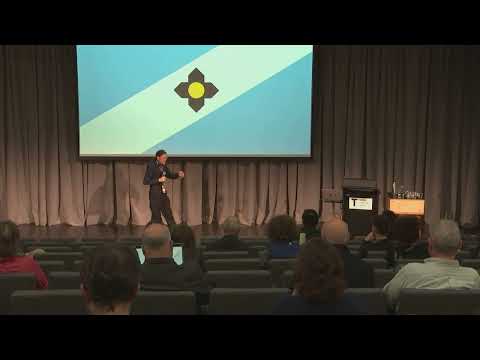
I am *very* tardy in sharing this, but: last August I was honored to speak at GeoCart '24 in Aotearoa New Zealand. My first ever keynote! (and I only came up 20 minutes short because I rushed a bit) "Sharing the Emotional Work of Mapping" — have a look to hear me discuss why mappers should share more of their feelings https://www.youtube.com/watch?v=26sIj4iHiss&t=1s&ab_channel=NewZealandCartographicSociety

I'd definitely love to return to a future edition of GeoCart. It has a similar vibe to NACIS, though with a smaller, better size for quiet folks like me.

Sharing the Emotional Work of Mapping

YouTube

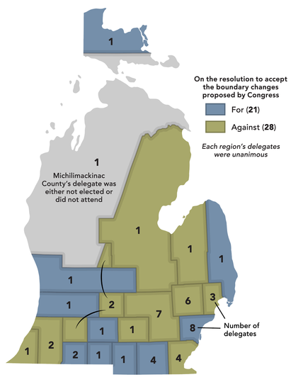
One more of these. As Congress passed a bill to rob Michigan of the Toledo Strip, Ohio added a humiliating provision that required Michigan to hold a convention to approve its dismemberment. I reconstructed the voting districts and tracked down the vote totals.

https://en.wikipedia.org/wiki/Toledo_War

This Amtrak ad is actually pretty funny: https://www.youtube.com/watch?v=nrfmRGIls4o
Summer Train-tacular

YouTube

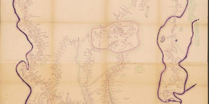
The Kingdom of Bamum, the best example of indigenous African cartography

A brief history of the Kingdom of Bamum, who had their own alphabet and were the creators of possibly the most iconic map of African cartography.

https://www.cartographerstale.com/p/the-kingdom-of-bamum-the-best-example

The Kingdom of Bamum, the best example of indigenous African cartography

A brief history of the Kingdom of Bamum, who had their own alphabet and were the creators of possibly the most iconic map of African cartography.

A Cartographer's Tale
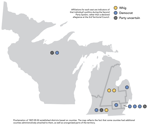
Working on some Wikipedia mapping. The articles on the elected legislatures of the Michigan Territory described the districts and members (and sometimes their affiliations), but needed maps. Also tracked down some political affiliation info. Been years since I edited Wikipedia.
A lion rests in the savanna.
I live in a condo, so I thought I would be spared lawn maintenance, but I decided to get the kittens their very own patch of sod for a bit of extra enrichment.
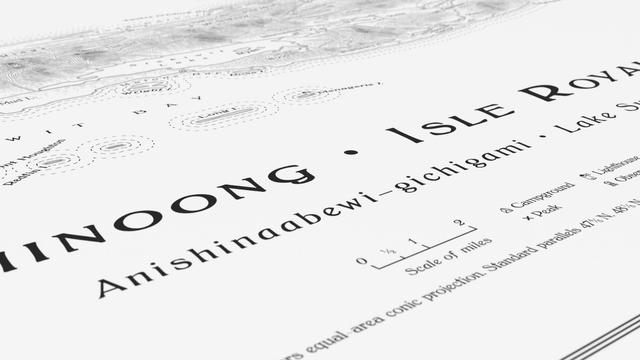
Now begins the impatient wait for a test print, to see if this piece is done and ready for sharing.
🦮 Announcing the Accessible Data Visualization (AccessViz) Workshop! This workshop focuses on advancing equitable access to data visualizations for people with disabilities. Submit short papers!
Deadline: July 18 https://accessviz.github.io/
Accessible Visualization Workshop