calli

@calli@chaos.social
345 Followers
590 Following
532 Posts
🌍 #Geospatial Analysis Expert
🔹 Solving strategic spatial problems in Europe
🔹 Working mainly with #QGIS & #GIS
🔹 Contributing to #OpenStreetMap
📍 Based in #Duisburg, #Germany

🌾Exciting News for the GRASS Community!✨

We're thrilled to announce that GRASS is now a project fiscally sponsored by @NumFOCUS! This partnership will help us continue to grow and enhance our open-source geospatial software.

Your support is crucial! Contribute today to help us advance GRASS: https://numfocus.org/donate-to-grass

Let's shape the future of geospatial technology together! 🙌 🚀

#GRASS #NumFOCUS #OpenSource #Donate #Contribute #Sponsor #FOSS4G #OSGeo
https://numfocus.org/donate-to-grass

Donate to GRASS

Donate to help support Arviz! A unified codebase for Exploratory analysis of Bayesian models.

NumFOCUS
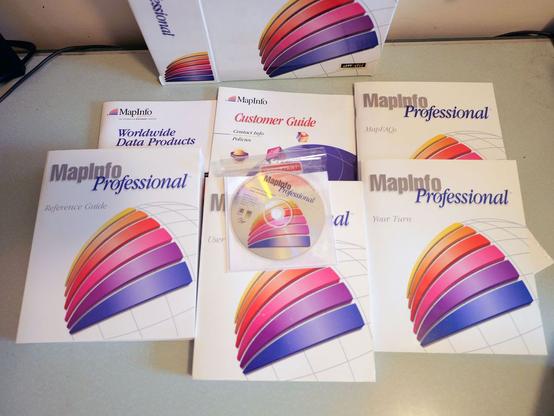
https://placing.technology/media-archaeology-with-mapinfos-mapxpress-2-0-1996 blogged about old mapping software (well, advertising for it) to feel something as I work on my dissertation
Media archaeology with MapInfo’s MapXpress 2.0 (1996) - Placing Technologies

I found a full set of the 1996 version of MapInfo Professional on eBay recently and shelled out a somewhat stupid amount of money for it on the

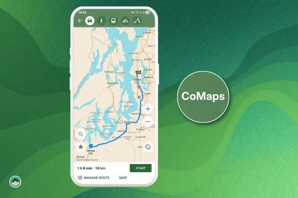
CoMaps is a fully open source navigation app that works offline and doesn’t track users

“Born out of governance concerns in Organic Maps, CoMaps has been created with a goal of restoring transparency, community control, and privacy-focused navigation. It’s a fully open source navigation app that works offline and doesn’t track users. A ...continues

See https://gadgeteer.co.za/comaps-is-a-fully-open-source-navigation-app-that-works-offline-and-doesnt-track-users/

#navigation #opensource #technology

CoMaps is a fully open source navigation app that works offline and doesn’t track users

“Born out of governance concerns in Organic Maps, CoMaps has been created with a goal of restoring transparency, community control, and privacy-focused

GadgeteerZA

Exciting News!
We're thrilled to announce the release of CoMaps to Google Play Store, Apple App Store, and F-Droid!

CoMaps Highlights
· Offline Search and Routing
· Saves battery
· Privacy-respecting
· Free and No Ads

What makes CoMaps special?
- Open & Transparent
- Community Empowerment
- Free & Not-for-Profit

Download CoMaps Today:
Google Play Store: https://play.google.com/store/apps/details?id=app.comaps.google
Apple App Store: https://apps.apple.com/app/comaps/id6747180809
F-Droid: https://f-droid.org/packages/app.comaps.fdroid/

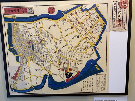
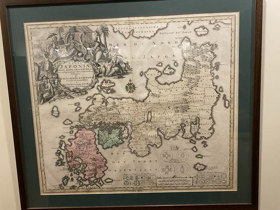
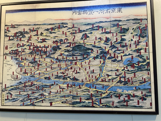
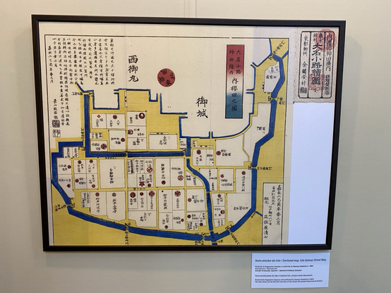
A selection of Japanese maps from the Bucharest Museum of Maps and Old Books. #maps #design #bucharest
I wish I could afford to take on an apprentice. I feel like cartography would be well-suited to this sort of training model.
OpenRailwayMap

OpenRailwayMap - An OpenStreetMap-based project for creating a map of the world's railway infrastructure.

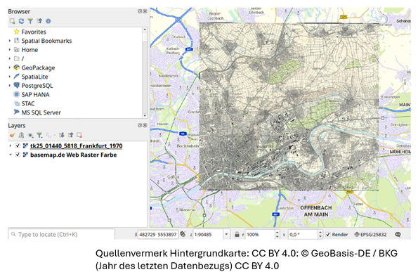
#QGIS auf dem #Historikertag: Heute wurde das Programm der @digigw veröffentlicht. Mit dabei: mein #OER Tutorial zur Georeferenzierung alter Karten mit QGIS. Entstanden für die #FOSSGIS2025 des @FOSSGISeV Hier gehts zum gesamten Programm: 👇
https://digigw.hypotheses.org/6170
Infos zu meinem Workshop und Anmeldung gibt's hier: 👇
https://digigw.hypotheses.org/6410
Und alle, die es nicht nach Bonn schaffen, können das Tutorial im Selbststudium durcharbeiten:
https://georef-qgis.oshistory.eu/
Ich freu mich auf den Praxistest

#ArcGIS vs. #QGIS

Guess who wins the competition?

https://www.wigeogis.com/en/arcgis_vs_qgis

ArcGIS
0%
QGIS
100%
Poll ended at .
ArcGIS vs. QGIS - Which is the Top DesktopGIS? - WIGeoGIS

The two GIS systems in comparison: Costs ★ User-friendliness ★ Analyses ★ Visualization ★ Data formats ★ with a clear table of the advantages and disadvantages of ArcGIS and QGIS

WIGeoGIS Gesellschaft für digitale Wirtschaftsgeographie mbH