The ferry runs twice a day.
@Apiary This malfeature got me real good in a foreign country. It was starting to get dark, and I was using a rental-car nav (not Google/Apple Maps). It took me to a dock that was closed for the season. Took a long time to drive around that lake. Made it to the inn minutes before they closed for the night.
In Google Maps it’s in [Tap your avatar] > Settings > Navigation > Route Options.
Everyone should check this, and recheck it before a long trip.
@Apiary Last summer I was in London, and a friend was driving some place North West of the city. Google Maps was constantly changing the route to avoid “traffic jams,” making us leave the main street, take a side road, then come back, rinse and repeat.
Those were not traffic jams, they were regular, non jammed traffic lights. Google Maps was diverting us to the side of the intersection that was currently green. Of course, by the time we reached it, it was red, and our original street was green.
@Apiary That's annoying! When they rolled eco-routes out, it came with an option to disable it. Does that still work? (I wish it could be turned off per-destination https://lifeofanearthmuffin.com/2021/11/how-to-turn-on-and-off-the-google-maps-eco-route.html
I was on a road trip recently and for a while we had two phones using Google maps navigating us through NYC. They were giving us significantly different directions. So we assumed that they must spread people out to avoid creating traffic too...
On my Android phone, have noticed a distinct enshittification.
Stops following guidance, no prompts no 'lost satellite' announcements.
Nonsensical routes and route options.
Factual errors of location.
This is recent, maybe last two months
I have a similar situation with the drive to my stepmother's home. The longer way is easier and faster.
Maybe the corrupt dipshits at Google should think in terms of advising people instead of dictating to them what to do by withholding information.
I confess that I wonder how many PhDs it took to work out that algorithm.
@mdione @Apiary I know OSRM and Valhalla (probably GraphHopper, too) technically can route over ferry routes.
But you're right the data is limited and very basic e.g. see what can be tagged here
https://wiki.openstreetmap.org/wiki/Tag:route%3Dferry
#1 priority for a routing engine would be figuring out if it's usable for a car and when/how often the ferry is going and it's duration.
Some ferries go every 15 minutes or so and only need a few minutes for crossing; others go daily or even less often. Vastly different.
@mdione @djh I recently began to use #OrganicMaps on my phone, and I'm gobsmacked by the amount of work its devs and OSM volunteers have put in to making it work so well. Cycling and driving directions in OgMaps typically match up closely with GMaps, but public transport details are much richer in GMaps, at least here in the Boston metro area. Subway stops in OSM often have a link to the "official" page, but no other info (lines, duration, interval, accessibility, etc), and many nodes have no details. (The #MBTA has a public data portal, but I guess auto-import of element details is discouraged.)
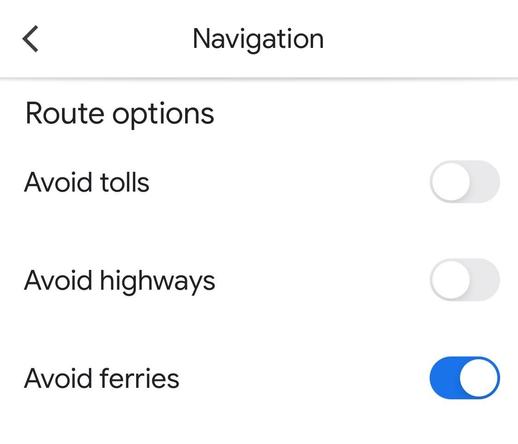
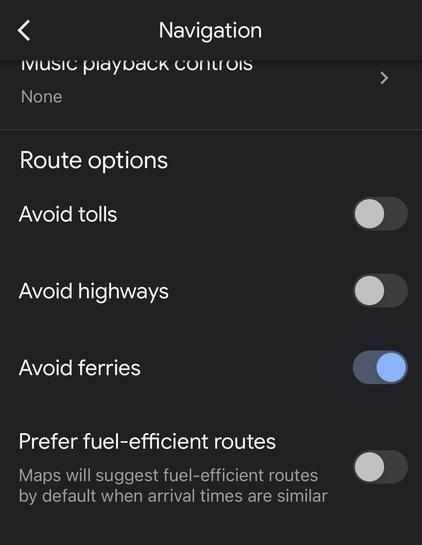
Ferries are part of the local public transit system here, but I never use them. Out of curiosity I mapped a route to a ferry terminal in Hingham, ~25 km from my current location. OgMaps/OSM included the ferry in cycling, walking, and public transport routes, but GMaps ignored it in public transport navigation (although it suggested some wacky options, like private bus carriers), even though T -> ferry looks like the second-fastest path (75 minutes) after driving (53 minutes in current traffic). Bike to ferry would take 80 min.
@mdione @Apiary
As the Weinberg's Law states: "If builders built buildings the way programmers wrote programs, then the first woodpecker that came along would destroy civilization."
It really should be taught from elementary school about acute fragileness of our civilization dependence on ever more complex technology. Corner cases of map routing are really totally insignificant part of that. One day some tech will break beyond repair, and bring whole civilization down the drain with it. 🤷♂️
@Apiary There's an "avoid ferries" option in navigation settings. Waze has it too, as do probably all other navigation apps out there worth their salt.
Actually, there's a chance (albeit a tiny one) that Waze actually would know about ferries' time tables, because it's so much more driving focused than gmaps.
Sounds like somebody at Google's overdoing the green thing. That's unusual. And you make a great point about how infrequently the ferry runs. Have you pointed this out to Google yet?