LAStools の Silke Kämmerer さんから LAZ 1.4 が OGC Community Standard としてオープンスタンダード化する進捗を伺いつつ、LAStoolsのチートシートもいただきました。
#PointCloud #LAZ #OGC #LAStools #FuruhashiLab #古橋研究室 #AoyamaGSC #青学 #GEOlab #PoliMI
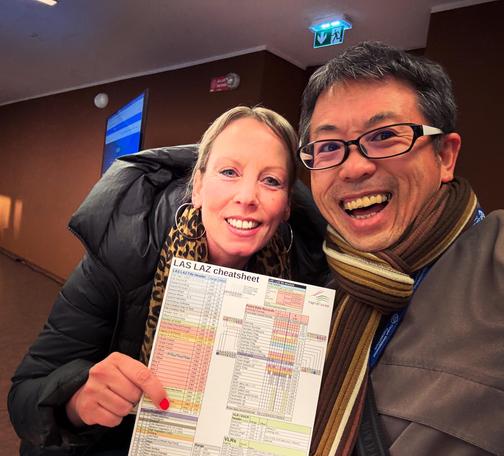
LAStools の Silke Kämmerer さんから LAZ 1.4 が OGC Community Standard としてオープンスタンダード化する進捗を伺いつつ、LAStoolsのチートシートもいただきました。
#PointCloud #LAZ #OGC #LAStools #FuruhashiLab #古橋研究室 #AoyamaGSC #青学 #GEOlab #PoliMI
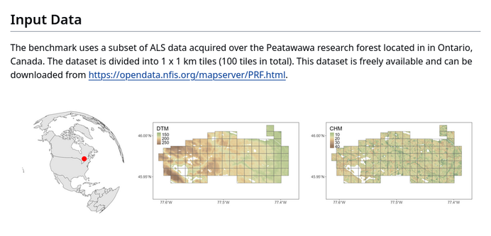
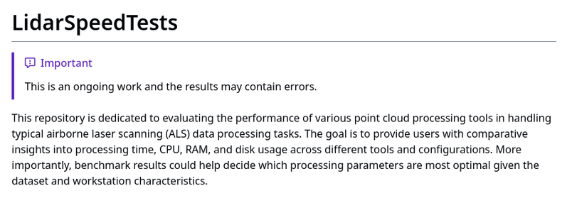
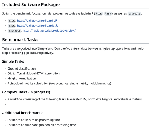
Piotr Tompalski recently started a project of evaluating the performance of various point cloud processing tools.
You can find his ongoing results at https://buff.ly/4bYp1DX
 , the #GIS
  of the Government of #Guadalajara 🇲🇽 done in the last two years of work (Only the new developments)
In this #tutorial I'll show you how to compile a set of command line tools by #Rapidlasso called #Lastools, which are very convenient when working with lidar and point #cloud data.
🌍 What is LIDAR?
#LIDAR, also known as 3D laser scanning, is a #GIS method for determining ranges by targeting an object or a surface with a laser and measuring the time for the reflected light to return to the receiver.
https://www.youtube.com/watch?v=RtVWjxomIas

