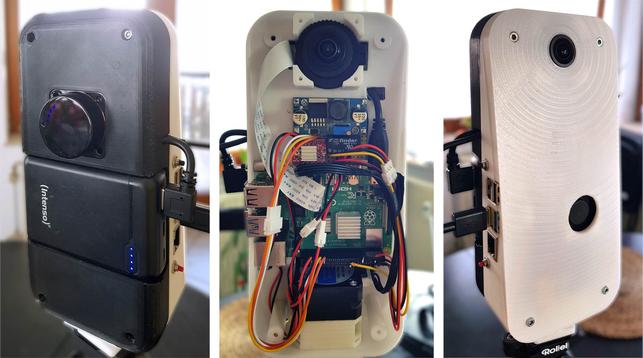
Raspberry Pi LiDAR: Build Your Own 360° #LiDAR For Under $300
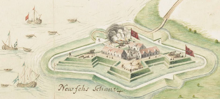
Trotz #LIDAR & Metallfunden war bisher unklar, wo die Belagerungsstellungen der Prosnitzer Schanze (1630/1677) lagen. Den Durchbruch bringen ein Kartenfund im #Riksarkivet & Geländedaten des LAKD-MV.
Tommy Jark in Fortifica: https://fortifica.hypotheses.org/4352
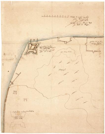
Die Belagerungen der Prosnitzer Schanze
Seit 1628 ist die Stralsunder Umgebung von einer komplexen fortifikatorischen Landschaft geprägt. Seepässe, Landengen, strategische Höhen und Landspitzen boten Angreifer wie Verteidiger gewisse Vorteile, wurden befestigt – und angegriffen. Für die Prosnitzer Schanze auf...
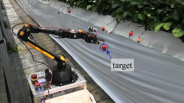
Ein autonomer #Roboter der Osaka Metropolitan University navigiert mit #Lidar präzise durch #Hochbeete und kann sogar empfindliche Früchte wie #Erdbeeren ernten.
Grundlage ist eine Kombination aus virtueller Simulation und realer Testumgebung. Das System spart Zeit und Kosten und eröffnet neue Möglichkeiten für automatisierte #Landwirtschaft.
Voraussetzung sind aber kontrollierte Umgebungen, Fahrbahnen und etwa Hochbeete. 😁
Hackaday: A Pi-Based LiDAR Scanner . “Early LIDAR systems were cumbersome and expensive but as the march of time continues on, these systems have become much more accessible to the average person. So much so that you can quickly attach one to a Raspberry Pi and perform LiDAR imaging for a very reasonable cost.”
https://rbfirehose.com/2025/04/21/hackaday-a-pi-based-lidar-scanner/
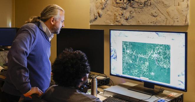
NOLA.com: Tulane keeps finding lost Maya cities, thanks to technology that's changing archeology
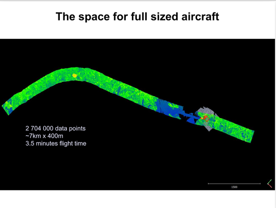
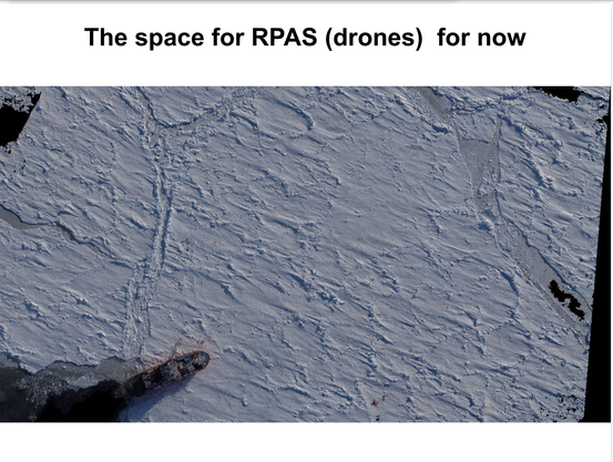
A decade ago I presented this pair of slides to an all-staff seminar at the Australian Antarctic Division. First shows a lidar pass as a reasonable scale for piloted aircraft. Second is a dense point cloud of a ship in sea ice showing a reasonable scale for RPAS/drone operations.
This is still true. At the time no small RPA existed that could operate in those conditions. In 2021/22 I was flying one in the Arctic, and it turns out slide 2 was very optimistic!
https://github.com/PiLiDAR/PiLiDAR #RaspberryPi #DIYProjects #GithubIntegration #3DScanning #CatScanner #HackerNews #ngated
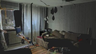
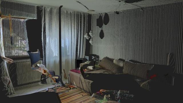
Someone made a LiDAR scanner with a Raspberry Pi, and it looks awesome
https://squeet.me/display/962c3e10-443c7fbe-8afc75d824ba8b80
Someone made a LiDAR scanner with a Raspberry Pi, and it looks awesome
“If you’ve never heard of LiDAR before, it stands for “Light Detection and Ranging.” It can map out an area by firing lasers at it and recording how long it takes for the reflected light to return. It’s a handy way of creating a 3D model of a physic ...continues
See https://gadgeteer.co.za/someone-made-a-lidar-scanner-with-a-raspberry-pi-and-it-looks-awesome/
