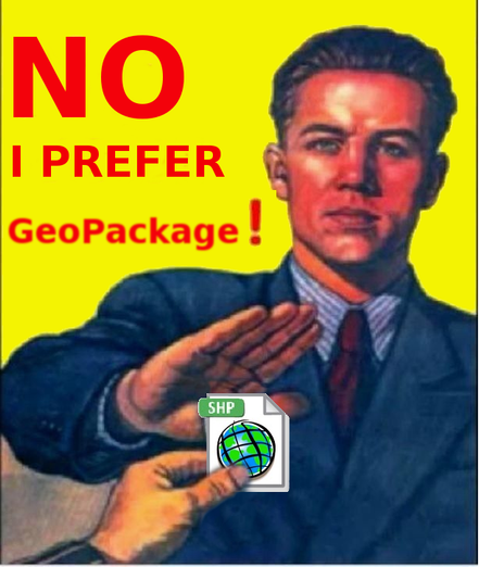
@russss @geofabrik I switched away from #shapefiles to #geopackage because shp can't be more than 4 (or is it 2) GiB.
Otherwise I haven't been convinced...

@seav Thank you so much for pointing me to the CShapes package! I’ve been looking for shape files of the late Ottoman Empire for years.

#HistoricalGIS #ShapeFiles #OttomanEmpire #DigitalHumanities #rstats

I'm not one to toot my own horn very much, but my https://github.com/lostmapper/gis-dockerized project has been really handy for testing out some tools I've been creating for importing #Shapefiles into #PostGIS and then publishing them as layers in #GeoServer.

#GIS #Docker #GeoBlacklight

GitHub - lostmapper/gis-dockerized: A grab bag of GIS tools collected together using Docker Compose

A grab bag of GIS tools collected together using Docker Compose - lostmapper/gis-dockerized

GitHub
Montana's State Historic commission require shapefiles to be submitted for all areas that are classified as historic. #magip #shapefiles
@jbzfn I still see dbase references show up in code. Theres a proprietary file format for geospatial data called #Shapefiles that have been around for decades. They include a sidecar DBF file that has reference headers for dbase. The format is slow to render and limited to a few hundred thousand rows. Columns were restricted to 7 characters. Awful to work with. Every time I see a DBF, I think about George Tate and the early database hustle.
[1] https://www.loc.gov/preservation/digital/formats/fdd/fdd000326.shtml
[2] https://www.nytimes.com/1984/08/14/obituaries/george-tate-is-dead-at-40-computer-software-leader.html
Missed your 25th birthday @shapefiIe (July 1998); that is 175 years in technology years! 🙃 😜 🤔 😁
(and some are worried about Joe Biden!)
--
Nothing personal, but #shapefilesmustdie
https://www.gis-blog.com/geopackage-vs-shapefile/
#GIS #spatial #mapping #shapefiles #geopackage #moderntechnology #technology #mappymeme
Why you should use GeoPackage instead of Shapefile - GIS-Blog.com

Why you should use GeoPackage instead of Shapefile

GIS-Blog.com - Remote Sensing, Web Mapping, GeoData Management, Environmental Statistics
I'm on a new project at work to create, store, and programmatically analyze datacenter building plans, eg. Calculating lengths of cable runs. I used to work in #gis, and remember just enough to know that all my approaches are hopelessly naive. Are #shapefiles still a viable option for low-ceremony vendor neutral structured #spatial analysis? (Probably from Python) cc. @sgillies
I looked for a quick lightweight previewer for Windows that can show you #shapefiles rapidly. #Quicklook for Windows allows you to do so by pressing Space with a plugin that is easily installed. It supports so many types that I basically ditched the windows preview tab

https://alternativeto.net/software/quicklook/about/

Repository:
https://github.com/QL-Win/QuickLook
ShapeFile Plugin:
https://github.com/birderyu/QuickLook.Plugin.ShapefileViewer
Is there anyone out there that knows #ArcGIS really well that would be willing to help me with something next week? I have a few different #maps and #shapefiles I need to overlay for one clean, cohesive figure (insets okay) w/ correct #projections, etc. DM me for more info!