Hydrology Data Products from the SWOT Mission [vodcast]
--
https://podaac.jpl.nasa.gov/animations/Hydrology-Data-Products-from-the-SWOT-Mission <-- shared technical resource / podcast / video
--
https://swot.jpl.nasa.gov/ <-- NASA SWOT homepage
--
https://swot.jpl.nasa.gov/science/publications/ <-- shared papers related to SWOT
--
#GIS #spatial #mapping #remotesensing #SWOTsatellite #Hydrology #RemoteSensing #GoSWOT #NASA #CNES #Rivers #Lakes #PixelCloud #Raster #podcast #opendata #SWOT #earthdata #earthobservation #water #hydrology #oceans #wateresources #watermanagement #marine #oceangraphy
@nasa
--
https://podaac.jpl.nasa.gov/animations/Hydrology-Data-Products-from-the-SWOT-Mission <-- shared technical resource / podcast / video
--
https://swot.jpl.nasa.gov/ <-- NASA SWOT homepage
--
https://swot.jpl.nasa.gov/science/publications/ <-- shared papers related to SWOT
--
#GIS #spatial #mapping #remotesensing #SWOTsatellite #Hydrology #RemoteSensing #GoSWOT #NASA #CNES #Rivers #Lakes #PixelCloud #Raster #podcast #opendata #SWOT #earthdata #earthobservation #water #hydrology #oceans #wateresources #watermanagement #marine #oceangraphy
@nasa
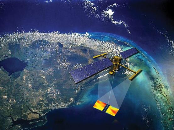
Hydrology Data Products from the SWOT Mission | PO.DAAC / JPL / NASA
Dr. Tamlin Pavelsky, NASA’s Surface Water and Ocean Topography (SWOT) Hydrology Science Lead, gives an overview of SWOT hydrology data products. Specifically, the Pixel Cloud (L2_HR_PIXC) netCDF, River (L2_HR_RiverSP) and Lake (L2_HR_LakeSP) Single Pass Vector shapefiles, and the Raster (L2_HR_Raster) netCDF products are discussed.