undefined | Here's what the hurricane categories mean
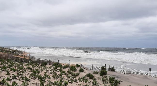
The Atlantic hurricane season runs from June 1 to Nov. 30, and storms are graded on the Saffir‑Simpson Hurricane Wind Scale, which assigns categories 1 through 5 based on sustained wind speeds. A “major” hurricane is any storm that reaches Category 3, 4, or 5, indicating a high potential for significant loss of life and damage. The 2025 season’s first storm, Hurricane Erin, surged to a Category 5 on Aug. 16 before weakening northward, producing dangerous waves and rip currents despite not making landfall.
Category 5 hurricanes have sustained winds of 157 mph or higher and cause catastrophic damage: most framed homes are destroyed, roofs collapse, power outages last weeks to months, and large areas become uninhabitable. Notable examples include 1992’s Hurricane Andrew, 2017’s Irma, and 1969’s Camille. Category 4 storms (130‑156 mph) also produce catastrophic damage, with severe roof loss and widespread power failures; Hurricane Harvey (2017) and Hurricane Ida (2021) are key cases. Category 3 hurricanes (111‑129 mph) bring devastating damage, such as major roof loss and extensive tree damage, exemplified by Hurricane Zeta (2020) and Hurricane Wilma (2005).
Categories 2 (96‑110 mph) and 1 (74‑95 mph) remain extremely dangerous, causing extensive roof and siding damage, snapped trees, and power outages lasting days to weeks; Hurricane Floyd (1999) and Hurricane Sandy (2012) illustrate these impacts. Although no official Category 6 exists, scientists have debated expanding the scale as storms grow stronger with climate change. Historical storms like Hurricane Katrina (2005), which peaked at Category 5 but hit land as a Category 3, and Hurricane Ian (2022), a Category 4 at landfall, underscore how the scale relates to real‑world devastation.
Read more: undefined
#atlantichurricaneseason #saffir-simpsonhurricanewindscale #hurricaneerin


