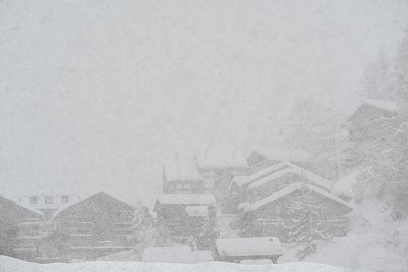
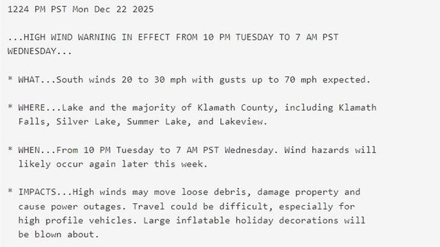
Winter Storm Warning: 10 Inches of Snow, 50 mph Winds Coming This Week
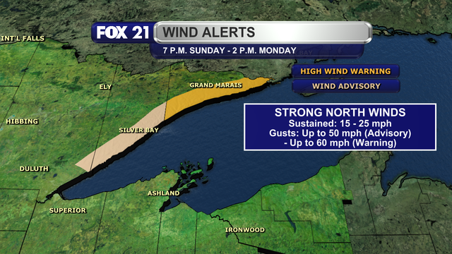
Certain areas of the Midwest are experiencing higher snowfall and wind speeds this week. The National Weather Service has confirmed that snowy conditions will continue into next week across some areas of the Midwest. After a few weeks of heavy snowfall throughout the Rockies, conditions in Wyoming and Montana have calmed down over the past few days. The NWS now reports that snowfall will once again be expected in the region, with wind gusts of 40 mph adding to the stormy […]