OCEANSIDE AIRPORT CA May 21 Climate Report: High: 73 Low: 60 Precip: 0.0" Snow: Missing
https://mesonet.agron.iastate.edu/p.php?pid=202605220024-KSGX-CDUS46-CLIOKB
OCEANSIDE AIRPORT CA May 21 Climate Report: High: 73 Low: 60 Precip: 0.0" Snow: Missing
https://mesonet.agron.iastate.edu/p.php?pid=202605220024-KSGX-CDUS46-CLIOKB
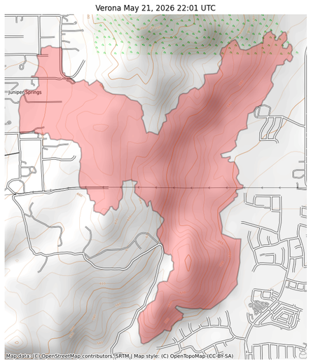
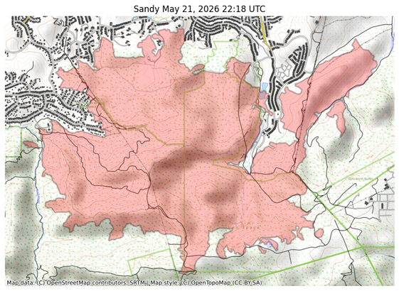
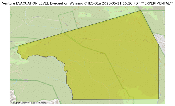
#EAS #WEA for Los Angeles: LAFD: Evacuation Warnings are lifted from the Sandy Fire. More info: lafd.org/alerts Source: 201004,LA City Public Alerts,City.of.Los.Angeles #CAwx
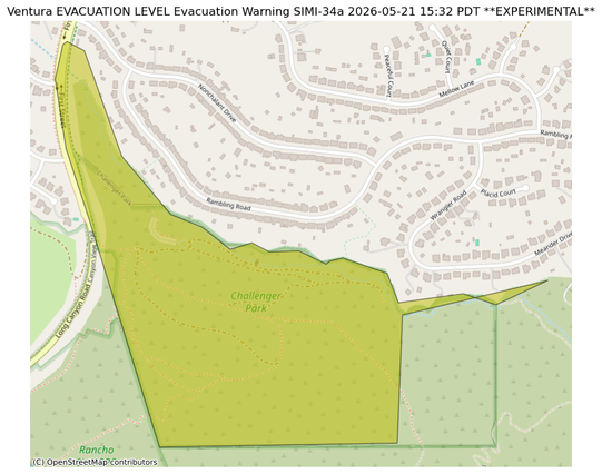
** DO NOT RELY ON THIS FEED FOR LIFE SAFETY, SEEK OUT OFFICIAL SOURCES ***
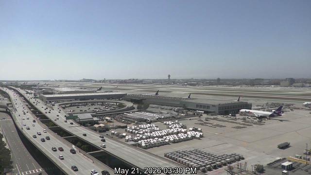
LAX at 2:53 PM
🌡️ 66.9 F
🌫️ 57.0 F dew point
🌬️ West at 9 knots
🔭 10 miles visibility
☁️ A few clouds at 1000 feet; a few clouds at 9000 feet
⏱️ 1011.5 mb air pressure