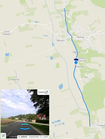
Hey Panoramax/GeoVisio people, is there any way to detect already uploaded images - maybe the CLI tools already refuse to upload already uploaded ones?
#Panoramax now has its beta app available for Android! Keep in mind that this is a work in progress and there may be bugs if you choose to test it. Be sure to include details in your bug reports to help out the kind developers volunteering their time on this project.

Ich hab heute Früh gefragt ob es ein Tool gibt, das #Dashcam Aufnahmen in eine Art #selfhosted #StreetView umwandeln kann.
Ja, es gibt da einen Server, der das kann.
Aber der braucht #GPS getaggte JPGs und keine #MP4 Dateien.
Also hab ich mal fix selber was gebaut um aus einer MP4 solche GPS-tagged JPGs zu bauen.
Quick&Dirty wie immer xD
Wenns durchgelaufen ist, kann man die Bilder einfach auf einen #GeoVisio aka #Panoramax Server werfen!

@legume @mapilio You should include #Panoramax / #GeoVisio to your list of street-level image sharing list: https://panoramax.fr. It’s still in the early days but it’s open and federated.
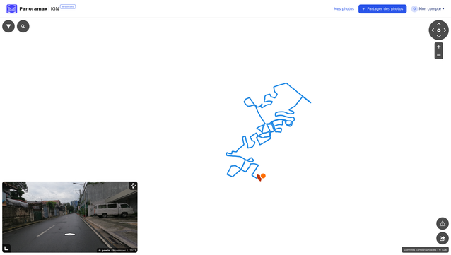
récupérer ses photos geolocalisées de plates-formes non libres (#kartaview et #mapillary) pour contribuer à #Panoramax
#geocommuns #geovisio #ign #floss #logicielLibre #openstreetmap
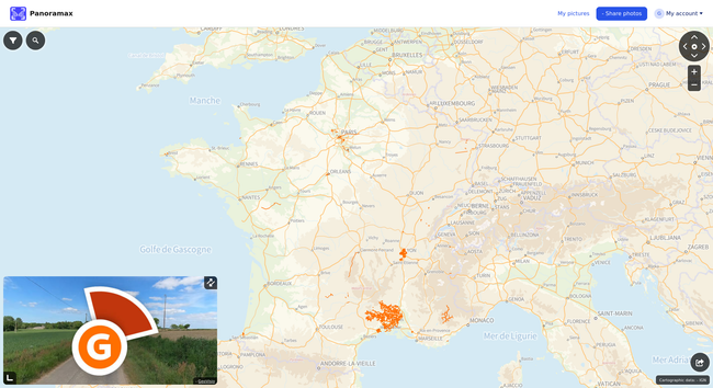
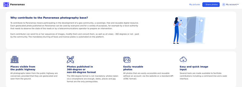
Have you heard of #Panoramax? They bill themselves as the **free** "street view"
It's a test instance of #GeoVisio run by IGN with the French #OpenStreetMap community where you can share your street-level imagery collection.
They're conceptually in the same space as #Mapillary, #KartaView , or #GoogleStreetView.
Images taken outside of France are welcome, although the low-level zoom maps aren't available just yet.
Check out their project: https://panoramax.ign.fr
@Showroom7561 You could add the emerging #GeoVisio / #Panoramax to the alternatives to Mapillary, KartaView, and Mapillio: https://wiki.openstreetmap.org/wiki/GeoVisio.

Images are a bit a tough one. If osm.org offered picture storage, I would - no doubt - upload them there. Currently, Imgur is used to upload the pictures, but they are backed up regularly on my machine (it's only 20GB for now, for ~25K pictures)
Wikimedia isn't really an option (see https://github.com/pietervdvn/MapComplete/issues/99)
Mapillary would be fitting, but has it's own problems (https://github.com/pietervdvn/MapComplete/issues/1451#issuecomment-1619213492)
I'm eying #GeoVisio, but haven't found the time to integrate them yet.

🔖 Les tutoriels pour contribuer à Panoramax - #Panoramax : photo-cartographions les territoires / Contribuer - Forum GéoCommuns
https://forum.geocommuns.fr/t/les-tutoriels-pour-contribuer-a-panoramax/1015

🔖 Les tutoriels pour contribuer à Panoramax
Ce sujet a pour but de regrouper les différents tutoriels publiés sur ce forum ou ailleurs. Il sera étoffé petit à petit (mode wiki activé) ! Capture d’images Conférence au SOTM-FR 2022 de @StephaneP Réglages pour la GoPro Max (en photos !) Capture de séquences de photos avec Open Camera https://www.cipherbliss.com/contribuer-a-panoramax-avec-open-camera/ Gestion des photos dans Josm Série de vidéo sur les outils et méthodes pour afficher et éditer des photos ou séquences de photo dans Jo...
@Nickname @okwithmydecay @etua_en In the long run, we want to upload the pictures to a #Geovisio-instance such as @panoramax instead of Imgur. Wikimedia is not really an option, as it isn't meant for street-level imagery and has a very hard API to use.