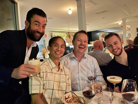
The boys. 🎄
#2020
#theboys #christmasdinner #christmas #dinner #memories #bonappetit #cheers #memories #howtimeflies
The boys. 🎄
#2020
#theboys #christmasdinner #christmas #dinner #memories #bonappetit #cheers #memories #howtimeflies
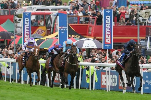
Derby 2026: Final field, jockeys, draw and latest odds as 14 line up for £2m Classic
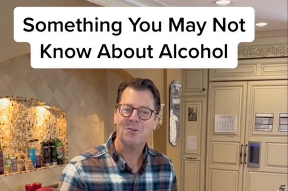
Doctor’s alcohol tip that ‘could save your life’ goes viral on TikTok
https://fed.brid.gy/r/https://www.upworthy.com/how-long-alcohol-stays-in-our-system-tip-ex1/


🇺🇦 #NowPlaying on #BBC6Music's #StuartMaconiesFreakZone
Keith Christmas:
🎵 Kent Lullaby
https://keithchristmas.bandcamp.com/track/kent-lullaby
https://open.spotify.com/track/2YWJGAmkU4gb7sLSrlAUnP
(There are still 208 days until 🎄 #Christmas)
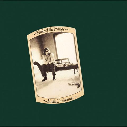
from the album Fable of the Wings (Full Album)
AtoZ Font: Discover New & Fresh Fonts for Every Creative Need
AtoZ Font is a comprehensive platform that offers a vast collection of high quality...
#Fonts #AtoZFont #AtoZFonts #A2ZFont #A2ZFonts #ttf #otf #Fontdownload #Downloads #Canvas #Party #Movieposter #Script #Regular #BoldFont #Calligraphy #handwriting #Arabic #Thai #Japanese #Tamil #Christmas #Wedding #Valentine #Gothic #Sansserif #Handwritten #Display #Serif #Blackletter #Hindi#Birthday #invitation #Korean