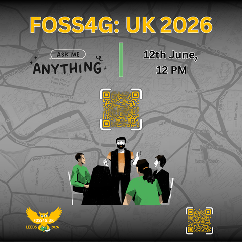
We’re excited to announce an Ask Me Anything (AMA) session for FOSS4G:UK 2026! 🎉
Join us on 12th June at 12 PM for an open conversation about the conference, the programme, sponsorship, community involvement, and more. Bring your questions and come chat with the team behind FOSS4G:UK 2026.
Whether you’re planning to attend, speak, sponsor, or just want to learn more, this is a great opportunity to get involved.