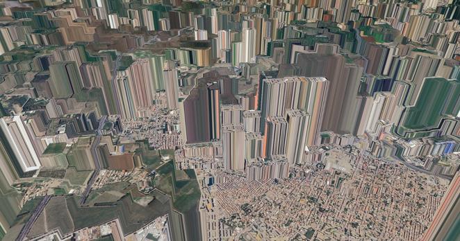
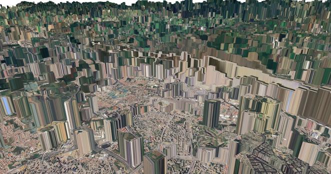
#30DayMapChallenge Day 6: Dimensions Today’s map is a #3D view of Algiers using #QGIS. Elevation = evapotranspiration! I used a #FAO #WaPOR L1 AETI image from 2008 as the elevation model, draped with Google Satellite imagery. Vegetated/agricultural zones rise above urban areas. #GIS #RemoteSensing