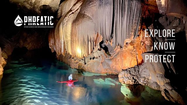
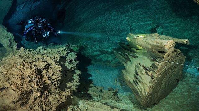
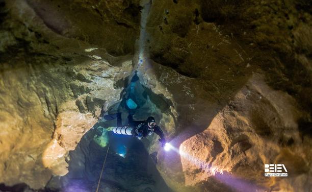
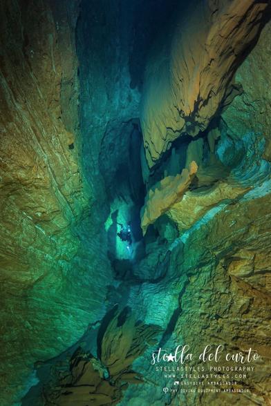
GIS Corps Is Looking To Help Phreatic With Remote Spatial Volunteers
--
https://www.phreatic.org/ <-- shared home page
--
https://www.giscorps.org/become-a-volunteer/ <-- shared link to volunteer with GIS Corps
--
[want to be a part of some super interesting (remote) GIS volunteer work?!]
#GIS #spatial #mapping #volunteer #phreatic #explore #protect #seacaves #Sardinia #cave #caving #Phreatic #GISCorps #Italy #Supramonte #GulfofOrosei #model #3dmapping #environmental #speleology #hypogene #groundwater #waterresources #marine #marinecaves #coast #coastal
@GISCorps @Phreatic
--
https://www.phreatic.org/ <-- shared home page
--
https://www.giscorps.org/become-a-volunteer/ <-- shared link to volunteer with GIS Corps
--
[want to be a part of some super interesting (remote) GIS volunteer work?!]
#GIS #spatial #mapping #volunteer #phreatic #explore #protect #seacaves #Sardinia #cave #caving #Phreatic #GISCorps #Italy #Supramonte #GulfofOrosei #model #3dmapping #environmental #speleology #hypogene #groundwater #waterresources #marine #marinecaves #coast #coastal
@GISCorps @Phreatic