🚀 QGIS2VectorTiles v3.2 is here!
🧩 Centroid Fill symbol layers now match QGIS behavior in the output web viewer - on the largest part or on every part.
🖼️ New Icon Quality setting for sharper sprites than ever.
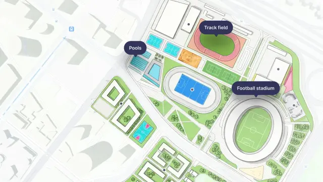
🔥 Still using ESRI's VTPK? Switch to an open, free, and fully customizable workflow.
❤️🔥 Go #FOSS ! Boost, rate, and spread the word!
🔗 https://gallpeters.github.io/QGIS2VectorTiles/
#opensource #maplibre #vectortiles #qgis #gdal #gis #openlayers #geoserver #maptiler #mapbox