Dreaming of the Skies
#djiglobal #djimini4pro #neewer #photography #photographer #aerialphotography #aerialvideography #drone #dronephotography #dronevideography #droneservices
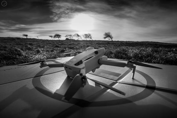
Dreaming of the Skies
#djiglobal #djimini4pro #neewer #photography #photographer #aerialphotography #aerialvideography #drone #dronephotography #dronevideography #droneservices
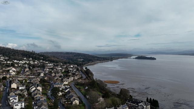
Busy week
11 roof inspections this week, total of 2343 images. The Mini 4 Pro is earning it's keep 😁
#drone #dji #djimini4pro #landscapephotography #dronevideography #dronephotography #aerialphotography #aerialvideography #vehicles #urbanphotography #mist #hills #lake #lakedistrict #cumbria #roofinspection #droneservices #dronesurvey
DRONE MOUNTED MAGNETOMETER
JBUAS offers a drone magnetometer, a UAV-mounted tool that can detect magnetic fields and assist in geological mapping. And don't forget about their Drone Mounted Magnetometer and UGCS GPR!
Visit Us: https://jbuas.co.uk/sensors/
#JBUAS #droneservices #UAVtech #UAVsurveying #UAVsolutions #UAVapplications
UGCS Skyhub
JBUAS offers advanced drone software technology with our UGCS SkyHub, which includes UGCS TTF and UGCS CPM. With our UGCS software and SkyHub, you can customize your drone operations to meet your specific needs. The Altitude Radar and TTF Radar provide real-time data and allow for precise control of the drone's flight path, even in challenging terrain.
Visit Us: https://jbuas.co.uk/skyhub
#JBUAS #droneservices #UAVtech #UAVsurveying #UAVsolutions #UAVapplications
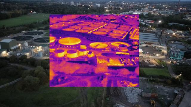
Couple of shots from our Autel EvoII 640T from a recent project in Carlisle to show the batch type images we get from the drone.
Images were taken in late evening but show how claerly a suitable drone can still capture data in low light environments.
This thermal equiped drone allows us to identify heat loss from properties, failed areas on solar units and is used heavily in missing persons/animals work.
For any enquiries on related projects and cost effective quotations please do not hesitate to contact us.
#autel #thermalimaging #thermal #nightphotography #aerialphotography #inspection #solarenergy #solarinstallation #searchandrescue #droneservices