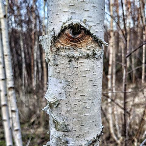
Eye of the birch
#Birke #Baum #Naturfotografie #Pareidolie #Wald #Struktur #Auge #Naturkunst #Baumrinde #Outdoor #Pixelfed #NatureEye #TreeBark #Pareidolia
#Birke #Baum #Naturfotografie #Pareidolie #Wald #Struktur #Auge #Naturkunst #Baumrinde #Outdoor #Pixelfed #NatureEye #TreeBark #Pareidolia