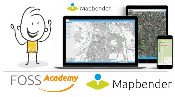
https://observablehq.com/@neocartocnrs/dynamic-simplify @observablehq #JavaScript #Webmapping
Day 1/100: The origin 🗺️
Aiudului Gorges, Romania. 2011. Karst terrain I still hike and climb.
Hand-digitized contours from topographic map. Same one from my thesis. Tiles with GDAL2Tiles + MapTiler, rendered in OpenLayers.
Before Three.js in cartography. Before WebGL was mainstream.
Same question: how do we make terrain feel real online? ⛰️
Still asking, 14 years later.
#WebMapping #GIS #OpenLayers #GDAL #Cartography #100DayMapChallenge
End of an era. Start of a new one.
10+ years building maps: LiDAR → GIS → WebGL → network graphs → spatial storytelling.
Something’s shifting. Drawing me toward immersive work that blurs data, art, and experience.
Starting Feb 9: #100DayMapChallenge
100 days. 100 projects. Tracing my transition from traditional GIS to interactive 3D viz.
From static maps to immersive environments.
From QGIS to WebGL. 🗺️
Hello,
I am looking for information about a VIE/VIA or PVT (working holiday visa) in New Zealand in the field of geomatics.
Do you have any leads or advice for me?
I would like to leave this summer and stay for a year.
I have just completed my Master's degree in geomatics.

Thank you in advance.
Kind regards,
#GIS #spatialAnalysis #spatialdata #webmapping #programmation #programming
Une carte web en cluster regroupe automatiquement les points proches les uns des autres en grappes visuelles. Chaque grappe affiche le nombre de points qu'elle contient. Lorsque l'utilisateur zoome sur la carte, ces grappes se divisent progressivement en groupes plus petits, jusqu'à révéler les marqueurs individuels.
Ce type de carte est assez simple à mettre en place avec Leaflet et c'est un bon moyen pour gagner en lisibilité.
👉 https://www.d-booker.fr/content/264-comment-realiser-une-carte-en-cluster-avec-leaflet
❓ Interested in streamlining your development of custom, map-centric web applications?
👉 Meet Open Pioneer Trails - a collaborative open-source project by 52°North and con terra GmbH.
Arne Vogt explores "Trails" in his recent blog post - Open Pioneer Trails: An Open-Source Framework for Map-Oriented Web Apps
https://blog.52north.org/2025/11/10/open-pioneer-trails/
#open Source #React, #TypeScript, #webapp #webmapping