[#Rentrée2025HG🎒]
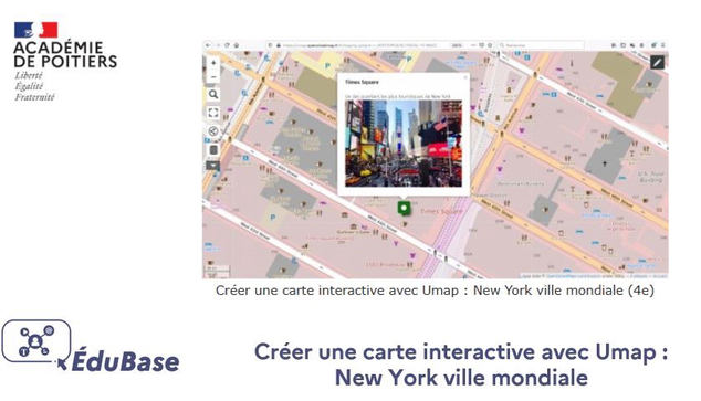
☑️ Créer une carte interactive avec #Umap : New York ville mondiale
☑️ Une proposition en #géographie #quatrième par l'@acpoitiers @HGPoitiers disponible dans #Édubase
edubase.eduscol.education.fr/fiche/18349
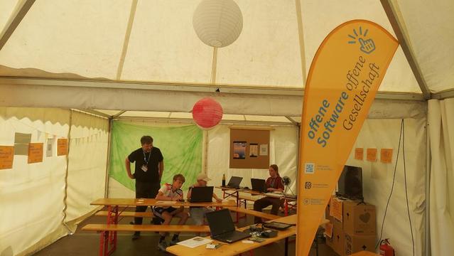
@m_b war so freundlich aufzuschreiben, wie wir mit der offenen Software #UMap von #OSM und #360Grad-Fotos mit Kindern und Jugendlichen einen digitalen Plan erstellen, hier als #Konfi-Camp-Map mit den schönsten Plätzen. Veröffentlicht als #OER unter #CCBY, also bitte unbedingt nachmachen!
@OffenerKanal_MQ @netzwerkmk @EKM_online #KonfiCamp der @EkD @bpb @bildungsachsenanhalt @oerinfo
#OpenStreetMap #FLOSS #offeneSoftware #offeneGesellschaft
https://ev-akademie-wittenberg.de/diskurs/mitmachmap-die-anleitung/
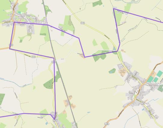
[Erledigt] Moin #OSM|-Community! Wir wären für einen Tipp zu #uMap dankbar: Wie würde man eine dort sehr grob mit wenigen Wegpunkten gezogene Route (siehe Beispielbild) möglichst schnell so verfeinern, dass sie Straßen und Wegen folgt, so dass die Strecken- und Steigungsangaben realistisch werden?
Also im Prinzip das, was Komoot macht, wenn man so ein rohes GPX importiert und sagt, es solle zur Neuplanung vorhandene Wege nehmen – aber aus Gründen eben gern ohne Komoot :-) Gibt es da entsprechende Dienste im OSM-Universum? Danke!
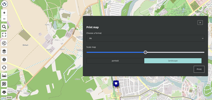
In OpenStreetMap news - uMap now has a feature to print the map.
#uMap 3.3.0 is out 🚀
A huge release dedicated to… summer time 😎
Enjoy your hikes, bikes and so much more! ⛰️
https://docs.umap-project.org/en/master/changelog/#330-2025-08-14
Thanks to OpenRouteService for their directions, isochrones and elevations API! https://openrouteservice.org/
Check out examples from this thread 🧵


