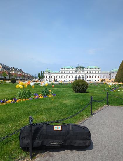
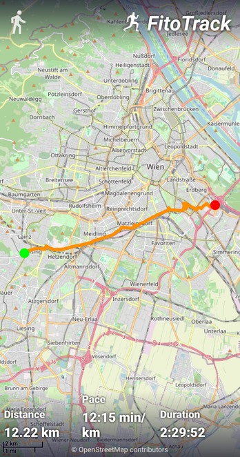
The fun challenge of #SuitcaseCarry a sandbag for 12 km in #Wien / #Vienna while doing brief site seeing and #OpenStreetMap.
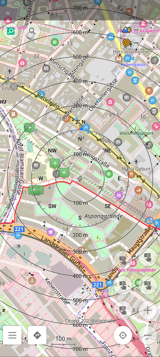
Towards the center/east of Wien there is the opportunity to do some #MicroMapping. Also there are lots of potential in adding waste baskets and dog stations.
My grip was almost gone the last couple of km, but it could also be due to doing pull-ups on `playground=horizontal_bar`, 3 x 10 #PullUps.