"Encode #spatial data as #topology in #Python!
With #topojson it is possible to reduce the size of your spatial data. Mostly by orders of magnitude."
Trying unsucessfully to reproduce this #leafmap example :(
https://leafmap.org/maplibre/globe_control/#import-library
https://www.youtube.com/watch?v=D2bdwLkU1KQ
UPDATE: Different computer... different result...
Fidddling with #py5 #geospacial #CreativeCoding #prettymaps #shapely #OSM #osmnx #GeoDataFrames
https://github.com/py5coding/py5generator/discussions/484
https://github.com/py5coding/py5generator/discussions/484

feeding the py5 "integrations radar" - graphs and geospacial data · py5coding py5generator · Discussion #484
Now that py5 has wonderful shapely integrations, I wonder if the next step could be something about, graphs (networkx), geodataframes (geopandas), and things in between, like osmnx that taps into O...
Mapa das sorveterias no Brasil - com dados do #OpenStreetMaps
https://gist.github.com/villares/7ef7b4dd10fecc876b229b658f71d3de
Baseado num exemplo de código da Lisa-Ho: https://github.com/Lisa-Ho/small-data-projects/blob/main/2023/2307-gelaterias/gelaterias-map.ipynb

Mapa das sorveterias - Grupo de Estudos em Python - Sesc Av. Paulista - Based on work by Lisa-Ho: https://github.com/Lisa-Ho/small-data-projects/blob/main/2023/2307-gelaterias/gelaterias-map.ipynb
Mapa das sorveterias - Grupo de Estudos em Python - Sesc Av. Paulista - Based on work by Lisa-Ho: https://github.com/Lisa-Ho/small-data-projects/blob/main/2023/2307-gelaterias/gelaterias-map.ipynb ...
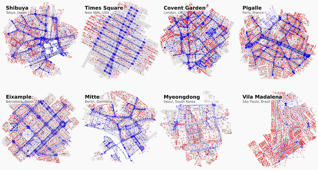
Any good open-source tools out there for visualising #GIS / #geospacial data?