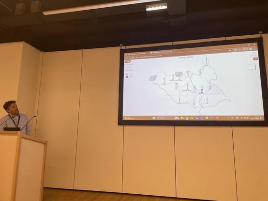
Jan Pospisil giving capstone »Beyond the Numbers – Visualising Invisible Dimensions of Peace« at #VIS4DH, demoing a mapping interface that visualizes perceptions of peace in South Sudan (created by Tomas Vancisin):
http://tvancisin.github.io/south_sudan_survey

#peace #geovisualization #mapping #ieeevis

Hey everyone in #cartography #gischat and related fields, one more week to submit your abstract for EuroCarto'24 which will take place September 9-11 in Vienna!

It would be great to meet many Fediverse users there! 😃

Don't hesitate to submit your work-in-progress #cartography #mapping #geovisualization #spatialdatascience projects, plenty of time until the conference to get them to a presentable state 😅

https://eurocarto2024.org/

EuroCarto 2024

Meeting of all commissions and working groups of the International Cartographic Association (ICA) in the glorious Kuppelsaal at TU Wien.
#cartography #geovisualization #tuwien #wien #vienna
Rock map of Scotland

Harry Jefferies shared his grandfather’s 30-year project: My grandpa who is 85 started making this rock map of Scotland in 1992. He collected rocks during amateur geology trips over 30 years.…

FlowingData
Je trouve étrange de ne rien voir sur mon fil qui concerne la #Geovisualization, la #cartographie etc. alors que je suis justement sur l’instance #mapstodon dédiée aux #maps #geospatial

Une question de réglage, je pense, j’espère 🤨🧐 🤔
Dan Coe Carto - 4K Rivers

An ongoing series of vibrant river and delta images from North America and other parts of the world. The images are constructed using high-resolution elevation data. To learn more about my river mapping work and to see the full-extent versions of these images, use the Meander & Flow Design link below.

@mastodonmigration @markigra @jeremy
It would be great to put together a list for #cartography & #geovisualization!

It seems that nowadays you cannot even start to use the Google Maps API without giving out your credit card information first... this means Google Maps is OUT for the courses I teach (Web Mapping and Multimedia Cartography).

It's a somewhat sad moment, since Google Maps is what brought me to #cartography #GIS and #geovisualization in the first place! But with the many exciting (and open) technologies available nowadays, it is time to move on...

#googlemaps #RIP