We’ve just upgraded the hillshading and contour details for Sweden and Finland on freemap.eu! 🇸🇪 🇫🇮
Check out the animation below to see the improved terrain definition. 🏔️
Development continues in spare time. Coming next: vector maps, Wikipedia & Wikimedia Commons layers, drawing & measuring on the map, live tracking, offline maps, and map export/print.
Huge thanks to Laci, our new member behind the app, and to all testers for their patience and feedback. 🙏
Found a bug or have an idea? Drop a comment or reach us via freemap.eu.
#Freemap #OpenStreetMap #OSM #Slovakia #Hiking #Cycling #Maps
🧵 3/3
We’ve just upgraded the hillshading and contour details for Sweden and Finland on freemap.eu! 🇸🇪 🇫🇮
Check out the animation below to see the improved terrain definition. 🏔️
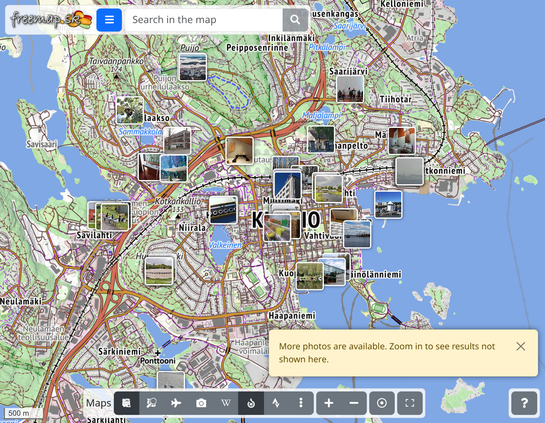
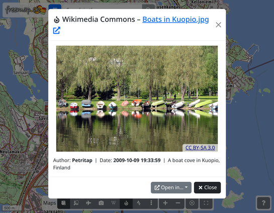
🖼️ We've added a photo layer from Wikimedia Commons (https://commons.wikimedia.org/). It will help especially outside Slovakia, where we have fewer of your photos on the map.
https://www.freemap.eu/#map=13/62.893370/27.674975&layers=X~M
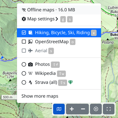
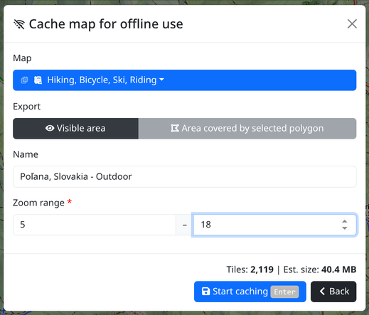
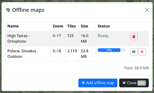
🗺️ New feature: Offline maps
Freemap now supports offline maps in the browser. Select your area, pick a map layer (outdoor, orthophoto...) and save it to your device. Once saved, works without any internet connection.
No extra app – just a browser and a bit of foresight. 😄
👉 https://www.freemap.eu/#show=offline-maps – try it while you still have signal! 😉
@FreemapSlovakia Ahoj, narazil som na chybne vykreslovanie verejnej dopravy MHD Bratislava.
Na niektorych uliciach sa nezobrazuju autobusove linky, ale iba trolejbusove. Najlepsie to vidno na useku medzi zastavkami Mala Scena, Culenova, Autobusova Stanica, Kosicka, kde na velkej casti vidno len trolejbus 40, pripadne ine trolejbusove linky, ale ani jednu autobusovu.
Vid napr. https://www.freemap.sk/#map=18/48.145127/17.124478&layers=d
Na #OSM vyzeraju prislusne relacie v poriadku. Co sa s tym da robit?

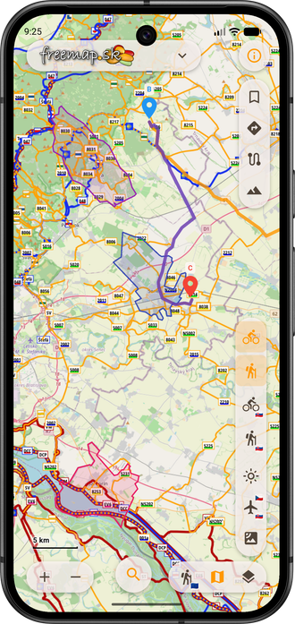
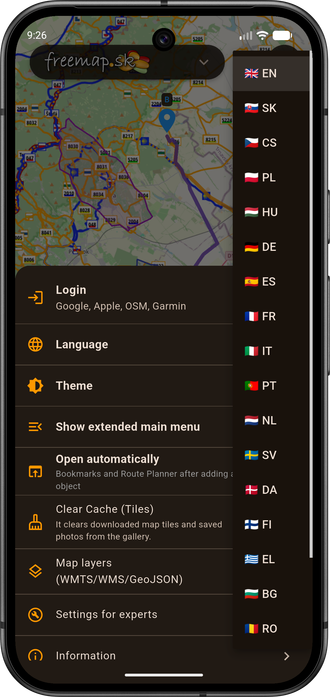
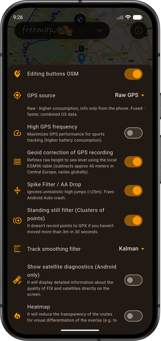
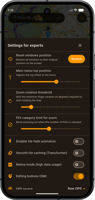
Detailed cycling, hiking, cross-country skiing and equestrian map of Central Europe (Slovakia, the Czech Republic, Hungary, Croatia, Slovenia, Romania, Bulgaria, Bosnia and Herzegovina, Austria, Switzerland in northern Italy and Carpathian Ruthenia). The map contains marked hiking, biking, cross-country and riding trails. It is based on the OpenStreetMap database and is therefore constantly updated. Various backgrounds such as Strava heatmap, NLC forest roads, aerial imagery, public transportation, wikipedia, photos. Functions such as search (by name or POI by category), route planning (walking, cycling, pram, trolley, ...), map annotation (drawing, points / markers on the map), measurement (distance, height, area, position), GPX records viewer, own maps, live tracking, export to or GeoJSON, PDF map export for printing. Insert a map into your own page. An alternative to maps such as hiking.sk, mapy.com or maps.google.com.
Looking for a quick scenario to slip into your Starfinder game? Try Showcase Slaughterfest! Map to the furniture showcase maze provided.
https://solorunstudio.com/2024/08/17/starfinder-showcase-slaughterfest/
#Starfinder #Paizo #FreeMap #TTRPmap #HallsOfTheLiving #Gameshow #TTRPGscenario #ShowcaseSlaughterfest #Ikea #Butcooler
