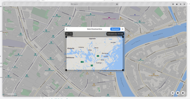
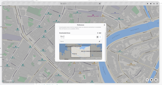
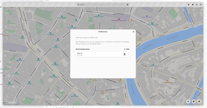
Thanks to hard work by @flyingpimonster Maps now supports downloading map areas for offline use!
This has been a long-awaited feature and will finally be available in GNOME 51.
Thanks to hard work by @flyingpimonster Maps now supports downloading map areas for offline use!
This has been a long-awaited feature and will finally be available in GNOME 51.
@kuketzblog Auf iOS nutze ich seit gefühlt 10? Jahren #PocketEarth, insbesondere, wenn ich tatsächlich ein Gefühl für meine Umgebung haben will. #openStreetMap #OfflineMaps
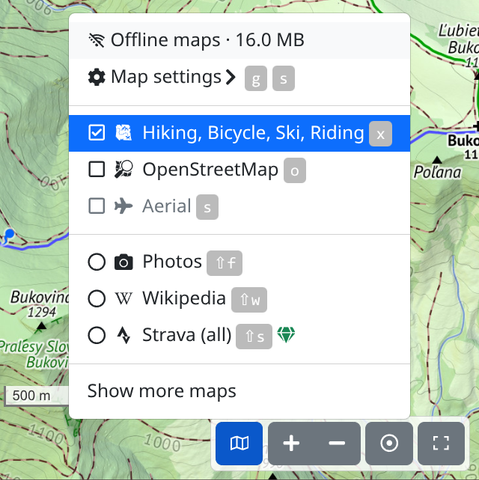
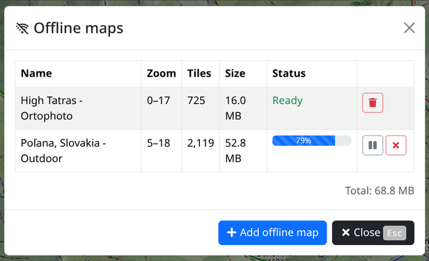
🗺️ New feature: Offline maps
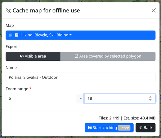
Freemap now supports offline maps in the browser. Select your area, pick a map layer (outdoor, orthophoto...) and save it to your device. Once saved, works without any internet connection.
No extra app – just a browser and a bit of foresight. 😄
👉 https://www.freemap.eu/#show=offline-maps – try it while you still have signal! 😉
OsmAnd 5.3 Adds Stargazing to Your Navigation Toolkit
OsmAnd 5.3 for Android brings astronomy with augmented reality, 3D buildings, globe view, better track widgets, and smarter routing for cyclists.https://yoota.it/en/osmand-5-3-adds-stargazing-to-your-navigation-toolkit/

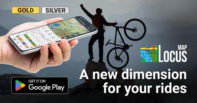
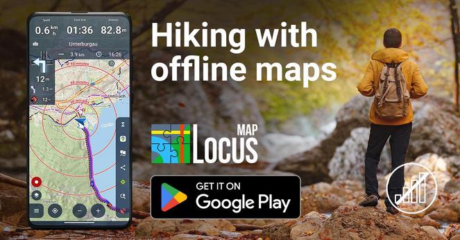
🥾 Whether you're chasing new peaks, exploring local trails, or planning a weekend escape — Locus Map 4 is your map-first hiking companion.
🗺️ Detailed maps at hand
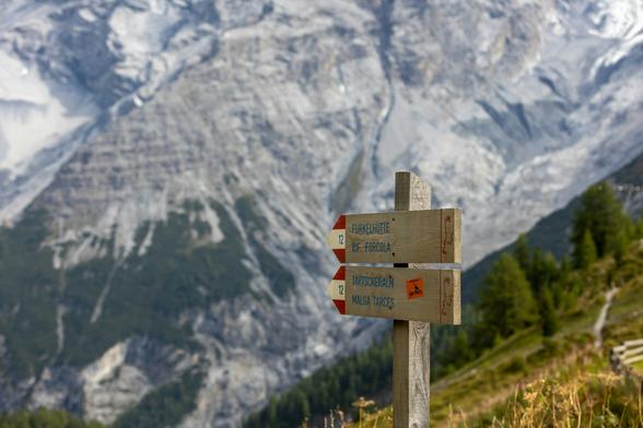
📴 Offline hiking navigation
📍 Reliable route planning
📊 Track recording for every hike
Pick your trail. Pack water. And let the map do the heavy lifting. 💪
What hike are you starting the season with? 🌄
#LocusMap #LocusMap4 #Hiking #OfflineMaps #RoutePlanning #ExploreMore #OutdoorAdventure

Fresh snow, quiet trails, and the freedom to explore. ❄️⛷️
With Locus Map, cross-country skiing stays smooth — plan routes, use offline maps (even with no signal), and navigate with confidence. 🗺️✨
Track your ride, follow the trail, and enjoy the winter calm — whether it’s a quick loop or an all-day adventure.
#LocusMap #LocusMap4 #CrossCountrySkiing #NordicSkiing #WinterAdventures #OfflineMaps #OutdoorNavigation #ExploreMore