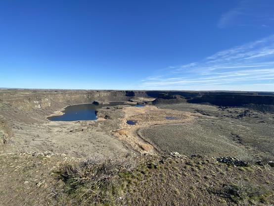
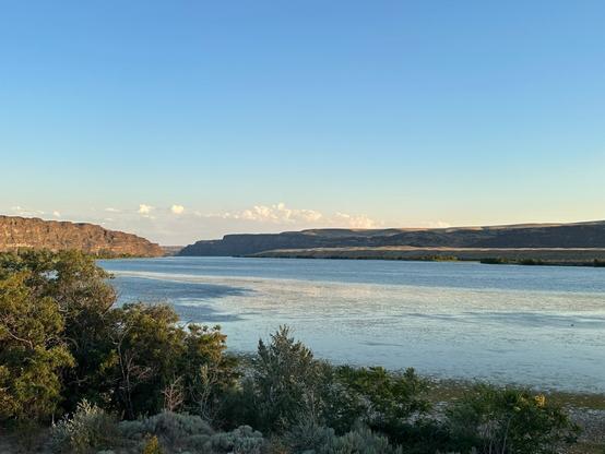
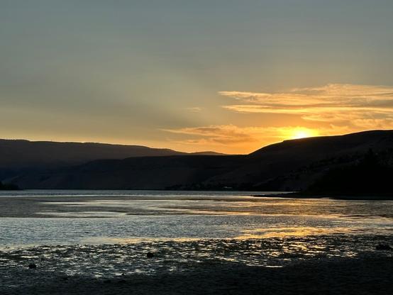
Was at Dry Falls State Park today. View from the visitor's center. This is only a small (western/left-hand) part of the falls. It's a 400 foot (123 m) tall cliff.
This is where the Upper Grand Coulee ends and the Lower Grand Coulee begins.
With a max Ice Age flood, the water would have been 400 ft (123m) deep as it went over the falls. Or in that case, it would have been more of a big ripple...
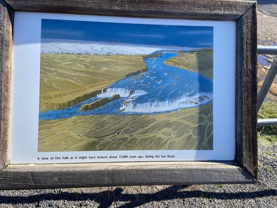
The sign at the falls is for a low flow flood.