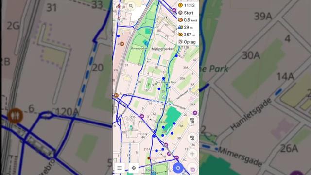
Anteriormente, he comentado que me encanta la app #OsmAnd en el móvil, especialmente para ir en bici o senderismo. Mi perfil favorito para la bici en OsmAnd es #Cycloroute y no esta preinstalado por defecto.

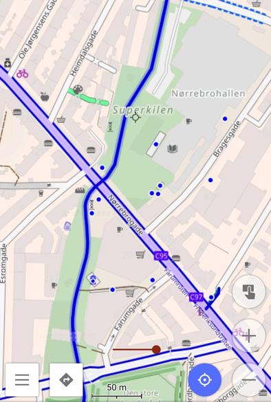
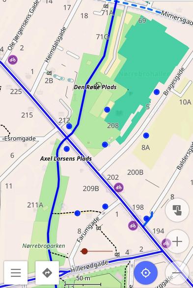
Aunque es muy fácil he hecho un vídeo explicando como hacerlo (tb como usar #CyclOSM como"sobrecapa") y mostrando el aspecto del perfil. En la descripción del vídeo hay +info, y los enlaces relacionados.

https://urbanists.video/w/fmZHJmwpvcVyA9z1k8KZtM
#OpenStreetMap

OsmAnd: Instalando y mostrando el perfil para bicis Cycloroute

PeerTube

I have mentioned several times that I love #OsmAnd for the mobile, specially for cycling or hiking. Nevertheless, my OSMAND favourite bicycle profile is #Cycloroute which is not available by default.

Despite it's pretty straight forward I explain how to in this video (also how to set #CyclOSM as an overlayer) and I show the profile. In the description video you can find all the related links, including the one to download the profile.

https://urbanists.video/w/xAb9twJoiGYV3S9JqS64RL
#OpenStreetMap

OsmAnd: Install Cycloroute profile

PeerTube

OsmAnd: Instalando y mostrando el perfil para bicis Cycloroute

https://urbanists.video/videos/watch/744e6335-a83a-44a6-a584-3948804b3cd7

OsmAnd: Instalando y mostrando el perfil para bicis Cycloroute

PeerTube
OsmAnd: Install Cycloroute profile

PeerTube

Sime time ago I mentioned of a #OsmAnd profile I find quite useful for cycling. The profiles called #CycleRoute is partially inspired in #CyclOSM & is described here:
https://github.com/OsmAnd-Rendering/Cycling/blob/eb217c66b1d7ac858f6f289e232b6c6591011867/README_EN.md
Here u can find the instructions to install this and other profiles (for example a hiking profile):
https://github.com/OsmAnd-Rendering/.github/wiki/

It is pretty straightforward downloading a file, opening with OsmAnd and importing the profile.

I like to have as default this profile with a CyclOSM overlay as shown in the pictures

Sometimes I have suggested that OSMAND is a quite useful tool, among other things to move cycling (as it is based in #OpenStreetMap and besides being free it is much better than GMaps when cycling, walking, hiking, etc.). But i want to suggest two useful tools:

1) A link to OpenStreetMap showing it as #CyclOSM: https://www.openstreetmap.org/#map=16/37.61115/-0.98467&layers=Y

OpenStreetMap

OpenStreetMap is a map of the world, created by people like you and free to use under an open license.

OpenStreetMap

The developers of https://sherpa-map.com announced [0] their "best gravel/cycling focused Map to route you adventures on", based on #OpenSteetMap data and inspired by #CyclOSM [1].

The map has been rendered globally, but the following regions are usable down to zoom level: 16

#UnitedStates
#Japan
#Philippines
#Taiwan
#Canada
#Australia
#Europe
#Alaska
#Hawaii

[0]: https://www.reddit.com/r/openstreetmap/comments/1db5ey7/i_spent_6_months_creating_the_best_gravelcycling/
[1]: https://github.com/cyclosm/cyclosm-cartocss-style/blob/master/docs/DOCKER.md

Sherpa - Cycling Route Planner showcasing Gravel Roads, Weather, and much more

Sherpa is a powerful gravel and road cycling route planner that provides detailed, AI driven, surface data, forcasted weather conditions, and 28 routing options. Similar to RideWithGPS, Komoot, Plotaroute, etc. but with many more, entirely free options. Embark on the road less traveled with Sherpa.

Since many other services such as Strava, Ride With GPS, and CyclOSM rely on OpenStreetMap data, this results in better bike routes for everyone!

It's gamified mapping and is oddly addictive. I've already noticed an improvement in recommended Strava routes in my area and it's been easier to create routes manually by looking at the improved CyclOSM maps.

https://streetcomplete.app/

#StreetComplete #OpenStreetMap #OSM #CyclOSM #Cycling #Guelph #Bikes #Strava #RideWithGPS #OpenSource

StreetComplete

OpenStreetMap surveyor app

Lately, I've been having fun with mapping bike lanes and road surfaces using StreetComplete. It's a mobile app which updates OpenStreetMap, an open source Google Maps alternative.

https://streetcomplete.app/

#StreetComplete #OpenStreetMap #OSM #CyclOSM #Cycling #Guelph #Bikes #Strava #RideWithGPS #OpenSource

StreetComplete

OpenStreetMap surveyor app

Avis aux contributeurs #CyclOSM, @openstreetmap.fr , l'aménagement n'y est pas encore renseigné 😉