RE: https://chaos.social/@markus_netzpolitik/116532228181345045

Hallo an die Expert:innen zu #DataVis #DataViz #MapChallenge #30DaysMapChallenge & Co.

Wäre Lobbyismus, Einfluss von BigTech und so weiter nicht auch mal ein Thema für Euch?

Wir freuen uns über weitere Themen-Felder und Sektoren, die visualisiert werden. (Bitte pingt uns an, wir helfen mit dem Verbreiten Eurer Visualisierungen). 🙂

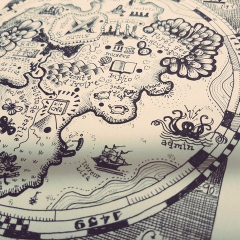
Lasst Euch inspirieren von @digitalrechte und der #LobbyLandkarte zu #NetzPolitik 👇🏼

Day 5 – Earth 🌍 | #30DayMapChallenge 2025
Exploring what lies beneath our feet — the diverse soils of Western Australia.
From aeolian sands shaped by wind to lateritic hills and fertile alluvial plains, each soil type tells a story of geology, climate & time.

#GIS #SoilMap #Cartography #Geospatial #EarthObservation #WesternAustralia #30daysmapchallenge

November has officially begun, which means the 🗺️ #30DaysMapChallenge 🗺️ has started. In the latest Data Vis Dispatch, we've listed our favorites, along with even more (highly interactive) maps.

👉🏻 Read the full blog post: https://www.datawrapper.de/blog/data-vis-dispatch-november-4-2025

#30DaysMapChallenge Day1: Points
Destinations of Taoyuan International Airport have changed a lot compared with 2015. More than 2/3 Chinese destinations have terminated during covid pandemic. Yet, number of Japanese, Korean and European destinations have significantly increased.

#30DayMapChallenge Day 3: Polygons

For a vineyard owner 🍇, choosing the best spot is the key to quality wine! With Kontur Atlas, we compared two areas to find the perfect one 🗺️
Curious? Let’s connect!

#30DaysMapChallenge #VineyardPlanning #SustainableAgriculture #KonturAtlas #Polygons

Day 22 - Null. Plugged and Abandoned offshore oil wells off Nova Scotia. #30DaysMapChallenge
Day 21 - Kontur Population Dataset. Where the Canadians Live. #30DaysMapChallenge
#30DaysMapChallenge Day 17: a map without a computer.
Je fais pas le challenge mais pas pu m'empêcher :)
#cartography #sciart

#30DaysMapChallenge Day 4 is about building a base map for an AIS animation later in the month. Tanaka contours showing Bournemouth Bay, Poole Harbour and shipping lanes

Made with #Blender #python

Looking at the UK Protected Marine Areas for #30DaysMapChallenge Day 3. Couldn't find the Jersey or Isle of Man data online to include 🙁