USGS Releases New Topographic Maps For Puerto Rico & The U.S. Virgin Islands – Updated Maps For Essential Needs
--
https://www.usgs.gov/programs/national-geospatial-program/news/usgs-releases-new-topographic-maps-puerto-rico-and-us <-- shared article
--
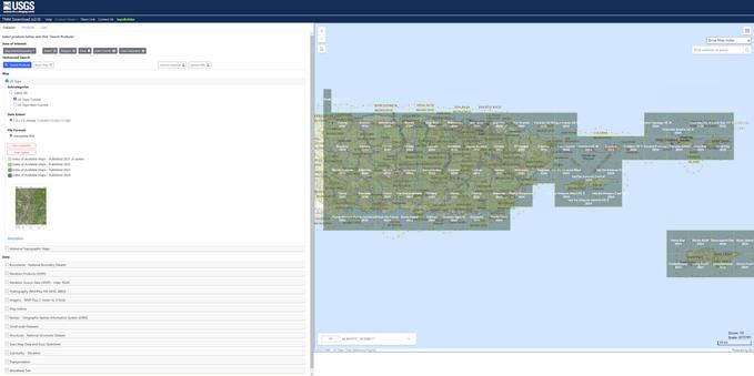
https://apps.nationalmap.gov/downloader/ <-- USGS National Map Downloader
--
https://www.usgs.gov/programs/national-geospatial-program/topobuilder <-- USGS OnDemand Topo
--
#GIS #spatial #mapping #cartography #PuertoRico #USVI #USVirginIslands #topomaps #20K #UStopomaps #topographic #map #NationalMap #TheNationalMap #TNM #NationalMapCorp #volunteers
@USGS
--
https://www.usgs.gov/programs/national-geospatial-program/news/usgs-releases-new-topographic-maps-puerto-rico-and-us <-- shared article
--
https://apps.nationalmap.gov/downloader/ <-- USGS National Map Downloader
--
https://www.usgs.gov/programs/national-geospatial-program/topobuilder <-- USGS OnDemand Topo
--
#GIS #spatial #mapping #cartography #PuertoRico #USVI #USVirginIslands #topomaps #20K #UStopomaps #topographic #map #NationalMap #TheNationalMap #TNM #NationalMapCorp #volunteers
@USGS
USGS Releases New Topographic Maps for Puerto Rico and the U.S. Virgin Islands - Updated Maps for Essential Needs | U.S. Geological Survey
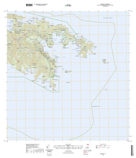
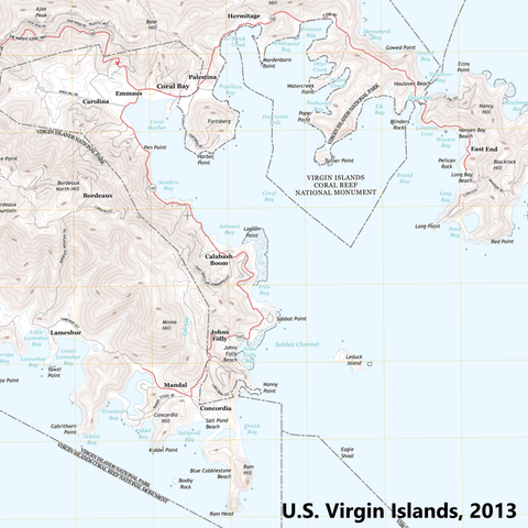
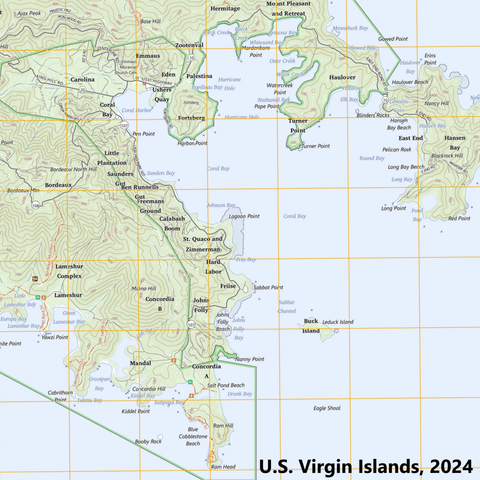
The USGS is pleased to announce the release of new US Topo maps for Puerto Rico and the U.S. Virgin Islands. These updated topographic maps offer valuable, current geographic information for residents, visitors, and professionals, providing essential resources for communities in these areas.


