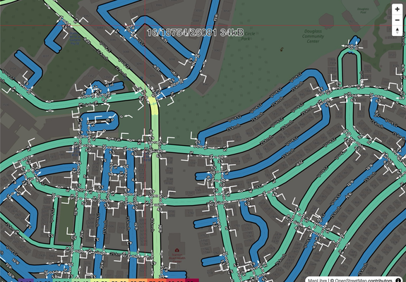
【個人開発】最寄り駅から徒歩X分以内の物件を地図上に列挙できるアプリを作ってみた【React,TS,supabase,leaflet】
https://qiita.com/nu197ma/items/bc9aee9c5951e01ad13b?utm_campaign=popular_items&utm_medium=feed&utm_source=popular_items
【個人開発】最寄り駅から徒歩X分以内の物件を地図上に列挙できるアプリを作ってみた【React,TS,supabase,leaflet】
https://qiita.com/nu197ma/items/bc9aee9c5951e01ad13b?utm_campaign=popular_items&utm_medium=feed&utm_source=popular_items
Drive around in Paris and avoid ways named after men!
My route planner now has a Parisian edition:
https://osrm.findvej.dk/paris/
Data is based on #OpenStreetMap extract for Paris where every street with the tag "name:etymology:wikidata" is compared to the corresponding item in Wikidata which has gender specified. Streets named after men are marked il the extract.
Finally a custom #OSRM plan is created that ignores these roads.
#rstats osrm.backend 0.2 is out.
I fixed a bug that might have caused lockup if you tried to calculate too large origin-destination matrices. Should work just fine now! (though there is a limit of course, as it works over REST API, but parallel requests are your friend).
osrm.backend::osrm_start("data_folder")
- router is installed automagically on all OS
- graph prep control from R
📘 Quick Start: https://www.ekotov.pro/osrm.backend/articles/osrm-backend.html
🗂️ Repo: https://github.com/e-kotov/osrm.backend
#OSRM #routing #gischat
First time trying #OSRM for routing, as my previous OSMNx + Pandana setup was failing at building a road network for all of Australia.
Jeez it was a PITA to set up but so fast once you get there! National SA2 OD matrix ran in a few seconds.
Wenn du Zeit, Lust, Laune und etwas Hardware hast: #nextcloud mit Maps App und dann noch #osrm - läuft dann mit Material von osm und routed aid deinem device...
🗺️ Building routes with 𝐑 + 𝐎𝐒𝐑𝐌 on 𝐎𝐩𝐞𝐧𝐒𝐭𝐫𝐞𝐞𝐭𝐌𝐚𝐩 data and tired of switching to terminal and breaking the workflow?
Just use osrm.backend::osrm_start("your_data_folder")
• No need to pre-install 𝐃𝐨𝐜𝐤𝐞𝐫 or 𝐨𝐬𝐫𝐦-𝐛𝐚𝐜𝐤𝐞𝐧𝐝 native app — it’s handled for you on macOS, Windows, and Linux automagically
• No manual graph prep (though you can, see options for advanced users)
📘 Get started: https://www.ekotov.pro/osrm.backend/articles/osrm-backend.html
🗂️ Repo: https://github.com/e-kotov/osrm.backend
Så er min ruteplanlægger, der nægter at køre på veje opkaldt efter mænd, opdateret med frisk data.
Siden maj 2025 har jeg og andre frivillige fået markeret 10 % yderligere veje opkaldt efter mænd.
Eksempel i Hjørring:
https://osrm.findvej.dk/nomales/?z=14¢er=57.468716%2C10.003695&loc=57.470551%2C9.988933&loc=57.461411%2C10.017514&hl=da&alt=0
Realtime trafic project API, with #osmand integration.
https://www.openstreetmap.org/user/Archit%20Rathod/diary/407192
Im excited to share the midterm progress on my Google Summer of Code 2025 project: Temporary Road Closures Database and API for OpenStreetMap. This project aims to create a centralized platform where users can submit and retrieve real-time information about temporary road closures, enabling OSM-based navigation apps to provide better routing around construction, accidents, and other events.
Newest test case for route planner: A planner that tells you what the streets are named after in Denmark.
I have "simply" updated the street names with the description from Wikidata and OpenStreetMap. Perhaps I'll style it a bit, but the OSRM part is pretty default otherwise.
The descriptions is in Danish.