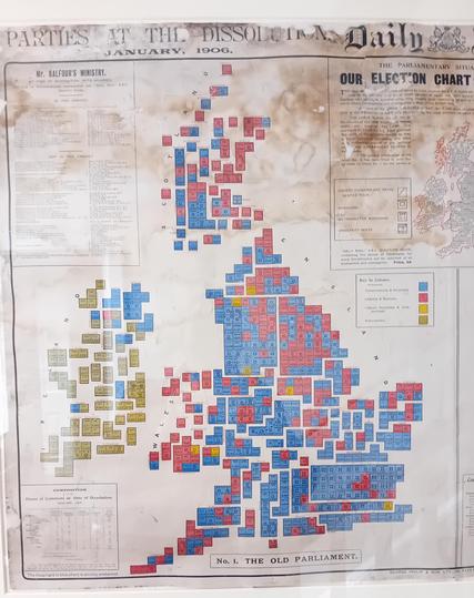
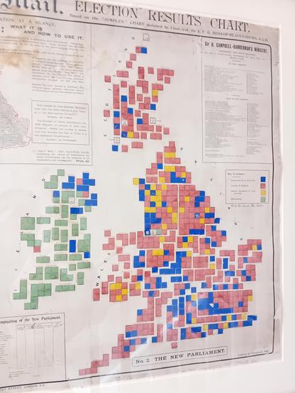
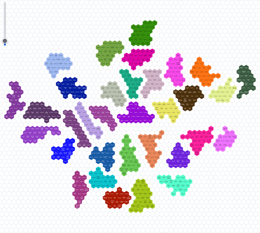
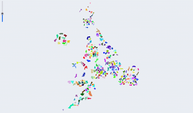
Day 11/100: When geography lies about votes 🗳️
Romania 2019 Presidential Elections dashboard. Obsessed with cartograms - maps where size = data, not geography.
Data: #QGIS + Spatialite joining ANCPI geometries + electoral data. 3,186 voting stations → municipality. Fixed București Siruta codes. #Svelte + #D3js dashboard.
Why: București tiny on map, massive in votes. Distortion becomes information.
https://blog.maptheclouds.com/events/for-whom-shall-i-vote-2