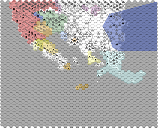
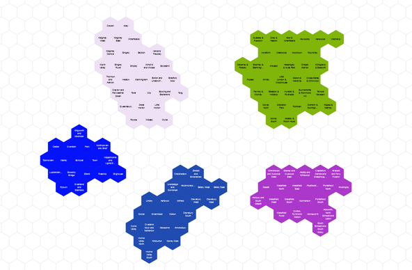
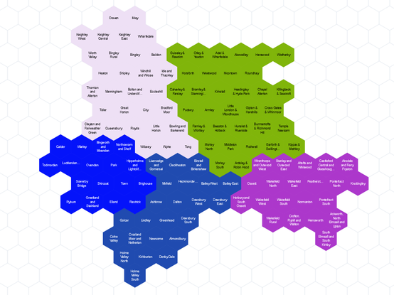
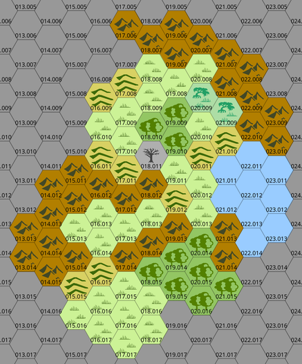
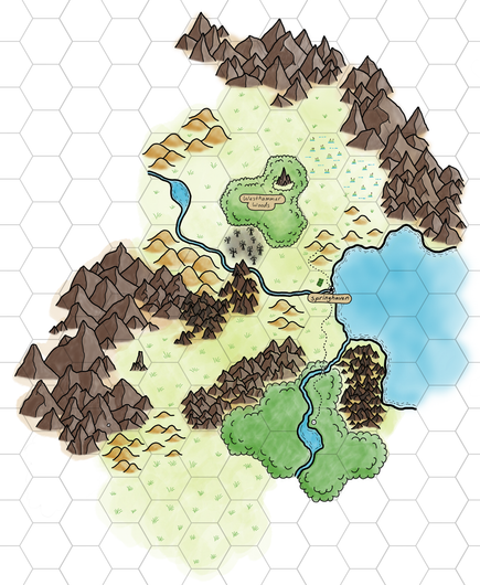
I have crafted two rough, 24-mile per hex maps of the Peninsula of Plenty. This post focuses on where the as-yet-unnamed human Empire is and the Elvenlands.
#OSE, #DND, #PeninsulaofPlenty, #POP, #hexmaps
https://ko-fi.com/post/The-Geographic-and-Geopolitical-Maps-of-the-Penins-J3J51P0CTV

@tonytranrpg
These days, if I make a map of my own, I mainly do point crawl type diagrams.
But a quite a few years back when I still though hex map exploration would work for my needs, I used the free version of Worldographer (back when it was still just "Hexographer").

I thought it worked well enough. It was easy enough to customize a randomly generated map if necessary.

I have Hex Kit too, but never really tried it.

#HexMaps

A hex map of UK wards (2024)

Over the past 6 months we've created a hex cartogram of UK wards

Well that's a first draft of the West Midlands ward hexes done: https://open-innovations.org/projects/hexmaps/editor/?https://open-innovations.github.io/uk-wards-2024/E12000005.hexjson

Anybody else fancy taking on the East Midlands, East Anglia, London, or the South West? Or just specific local authorities? https://github.com/open-innovations/uk-wards-2024/
#hexmaps #cartogram #uklocalgov

Edit hex layouts

If nobody else is, I guess I should look into arranging the ward hexes of the West Midlands then: https://github.com/open-innovations/uk-wards-2024/
#uklocalgov #hexmaps #cartogram
GitHub - open-innovations/uk-wards-2024: Creating a hex map of UK wards (2024)

Creating a hex map of UK wards (2024). Contribute to open-innovations/uk-wards-2024 development by creating an account on GitHub.

GitHub

Scotland, the North West and Yorkshire & The Humber taking shape.

#HexMaps #HexCartogram #LocalGov

Edit hex layouts

Yorkshire and the Humber are taking shape.

#Hexmaps #HexCartogram #LocalGov

West Yorkshire people, which of these two hex layouts (of wards) would you prefer? Option 1 where each local authority is separate or Option 2 where they are joined into a combined West Yorkshire? Option 2 requires (to me) a less nice arrangement within each local authority.
#WestYorkshire #hexmaps

When drawing #HexMaps for a #TTRPG, do you draw them by hand or use hexmapping software?

Here are two examples of what I mean; I'm drawing my world Uldorion both by hand (on a tablet), and using the hexmapping software called Worldgrapher. Both have their advantages. I prefer the look of the hand drawn one (why else would I make it?), but the Worldographer one has advantages such as being able to zoom in and create subhexes, mark locations and extensive notes, etc. Which do you prefer?