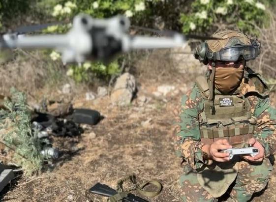
Rostec Begins Testing ‘Friend or Foe’ System for Drones
https://defensemirror.com/news/39340/Rostec_Begins_Testing____Friend_or_Foe____System_for_Drones
#Rostec #Drones #UAV #DefenseTech #DroneIdentification #Russia #Geoscan #Rosel #Geodesy401 #AerialMapping #TechNews #DroneSecurity #UAVTesting #MilitaryTech #Innovation