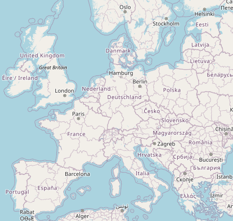
@ralpho
mit der deutschen #OpenStreetMap Karte geht das
https://openstreetmap.de/karte/
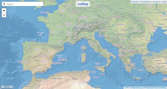
Alternativ gibts auch noch #osMap
https://www.osmap.de/
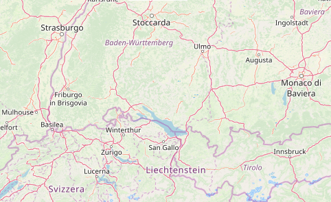
mit der deutschen #OpenStreetMap Karte geht das
https://openstreetmap.de/karte/
Alternativ gibts auch noch #osMap
https://www.osmap.de/