RT 🇪🇺 DG DEFIS #StrongerTogether
#ImageOfTheWeek
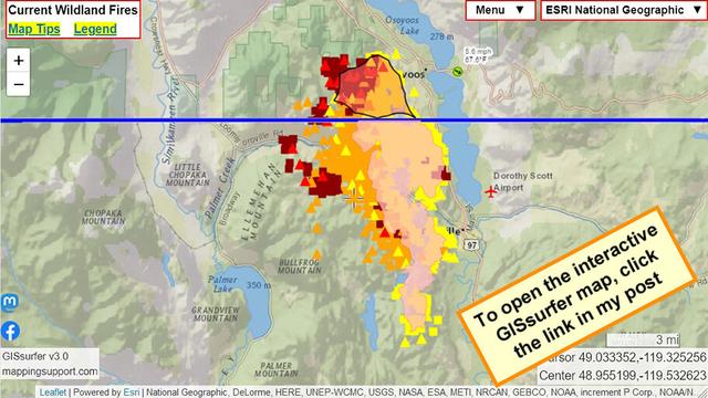
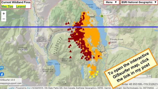
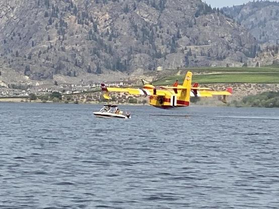
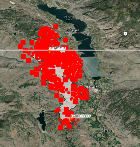
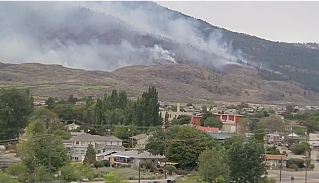
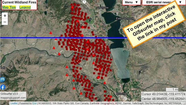
According to @CopernicusECMWF, the #CanadaFires have generated record levels of #CarbonEmissions
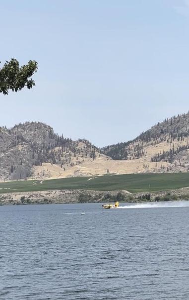
The fires🔥 have caused enormous forest losses 🌳
⬇️On 31 July, #Sentinel2🇪🇺🛰️captured the aftermath of the #EagleBluffFire
🐦🔗: https://n.respublicae.eu/defis_eu/status/1687714110601830400