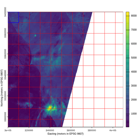
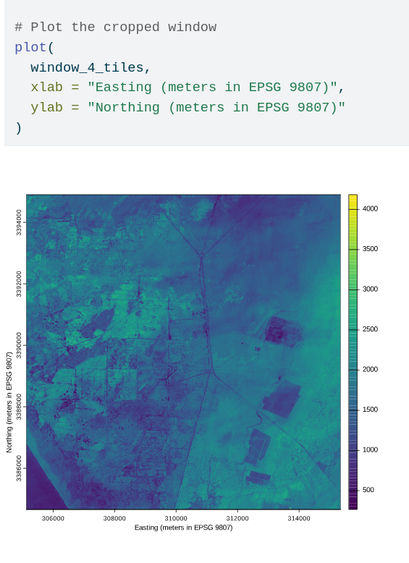
Cloud-native geo: Practical lessons: Lukas Merz shares practical lessons from real-world projects on the #cloudnativegeo paradigm: what it can do, what not, and when PostGIS (or similar technology) is simply enough. In a second article, he walks through a concrete implementation using...
https://spatialists.ch/posts/2026/04/27-cloud-native-geo-practical-lessons/ #GIS #GISchat #geospatial #SwissGIS
https://spatialists.ch/posts/2026/04/27-cloud-native-geo-practical-lessons/ #GIS #GISchat #geospatial #SwissGIS

Cloud-native geo: Practical lessons – Spatialists – geospatial news
Lukas Merz shares practical lessons from real-world projects on the #cloudnativegeo paradigm: what it can do, what not, and when PostGIS (or similar technology) is simply enough. In a second article, he walks through a concrete implementation using InSAR data in a web platform.