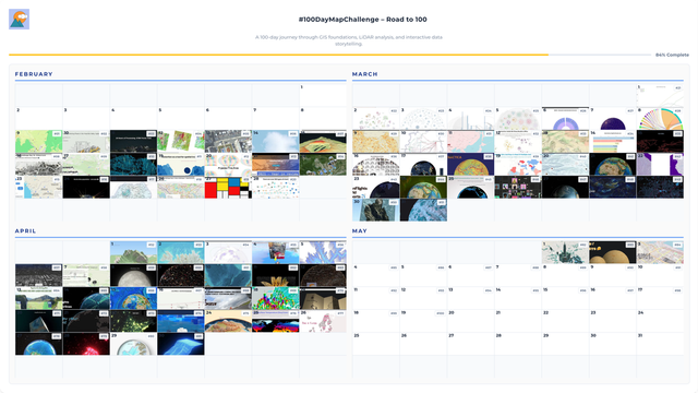
Day 13/100: The year I became MapTheClouds 🌍

2021 = transformative. #30DayMapChallenge + #30DayChartChallenge

Same year: launched https://maptheclouds.com, created brand/logo, refined COVID-19 network viz for Romania.

Lesson: discipline beats waiting for perfect conditions. Some days → proud work. Others → functional experiments. Both mattered. Showing up builds creative muscle memory.

End 2021: not just projects, but practice + platform + direction.

#100DayMapChallenge

#30DayMapChallenge : 30 jours, 30 cartes inédites pour célébrer la créativité cartographique

| IGN
#30daymapchallenge overdue final map: Cartogram of every current mandate for Germany's federal parliament by party and type of mandate. I have wanted to look at a figure like this for decades and finally decided to be the change. @a_watch @dawum
My "non-serious cartography" that I created for #30DayMapChallenge helps in understanding the decolonization of Crimean place names
https://qirimtatartili.app/en/articles/pro-povernennya-istorichnikh-nazv-u-krimu
On the Restoration of Historical Names in Crimea | Qırımtatar Tili

The idea that Russian and soviet renaming on the territory of Ukraine are harmful and should be abolished is obvious...

1000 followers on Behance! 🎉
For those who just joined: I make maps (200+ about Ukraine), work with QGIS & Python, teach architecture, and do 3D printing. OSM contributor since 2010, #30DayMapChallenge participant since 2019.
Here you'll see: work in progress, failed experiments, Ukrainian cartography, and GIS nerding.
https://www.behance.net/gontsa
While I love the #30DayMapChallenge, I couldn't fit it in my schedule last year. I like the idea of making for-fun-maps based on fixed themes. So I created a list of 52 subjects for myself to use over the course of this year to create maps that I can share. You can find it on https://52maps.org, or you can follow @52maps. If you want you can join me and share your for-fun-maps using #52maps.
For what it's worth, I've updated my shed https://anisotropi4.github.io/shed/30daymapchallenge.html with links to the data used and published a register of data and associated licenses used in talks and visualisations https://anisotropi4.github.io/shed/opendata.html
#DataVisualisation #PublicTransport #30DayMapChallenge
SHED - 30 Day Map Challenge

Inspired by @kamapu map for day 16 of #30DayMapChallenge and playing with the amazing {isocubes} by @coolbutuseless I decided to do an spatial introduction.

I'm from León, a province in the NW of Spain. Here is where I was born and raised and where after some time I got my BSc in Biology.

1/n

#rstats #rspatial #introduction

WeeklyOSM CZ 802:

Kaufland ČR. Číslování kolejí. Adventní kalendář. OSRM či GraphHopper? Čísla domů. Oprava povrchů. Telefonní čísla. #30DayMapChallenge. Nástupní bloky. Stopy z GNSS-RTK. Výzvy bodů zájmu. Co chybí ve stylu. Weby pro IKEA. OSM pro AI. ohsomeDB. Jména kruháčů. Jména ulic. Data budov. Budoucnost OpenTopoMap? Strava v editoru iD. extrahuj-transformuj-nahraj. AI pro tagování. Změny s MapComplete. Geolokace s AI. Volební okrsky. Snímky ze Sentinel. Bee Maps.

https://weeklyosm.eu/cz/archives/18322

týdeník 802

27.11.–03.12.2025 [1] OpenTopoMap žádá o podporu | © OpenTopoMap | © by přispěvatelé OpenStreetMap OSM CZ Mateusz žádá o zpětnou vazbu pro zamýšlený import webů pro prodejny Kaufland v České …

weekly - semanario - hebdo - 週刊 - týdeník - Wochennotiz - 주간 - tygodnik

Completing the #30DayMapChallenge. Topic: raster.

The Rodderberg, located on the opposite side of the Rhine River from the Siebengebirge, is an inactive volcano. Although its last eruption was 250,000 years ago, the crater can still be seen in the landscape today. Here, I used my own procedure to contrast the elevations of the south-east and north-west quarters of a circular window against a standard procedure.

#gis #datavis #rstats #mapping #cartography #dem #terra