🤗 Wow.
(In German)
- - -
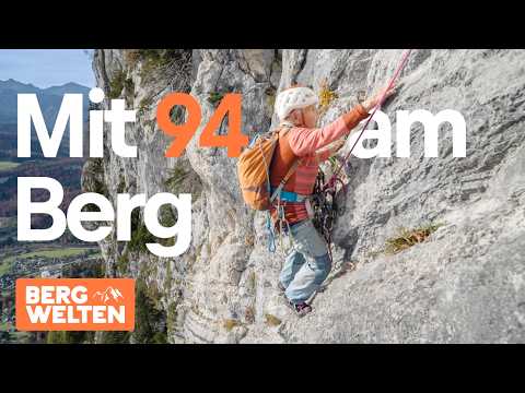
At 94, climbing is perfectly normal for Maria Kittl. Several times a week, she's on the rock face or in the climbing gym – with an energy and discipline that amazes all the younger climbers.
Bergwelten accompanies this extraordinary woman who demonstrates that passion knows no age limit. For Maria, the mountains aren't a hobby, but a lifeblood. Movement, nature, and trust in her own body have been with her all her life – and keep her fit to this day.
An inspiring portrait of joie de vivre, willpower, and a deep love for climbing. And about why you're never too old to explore new paths.
- - -