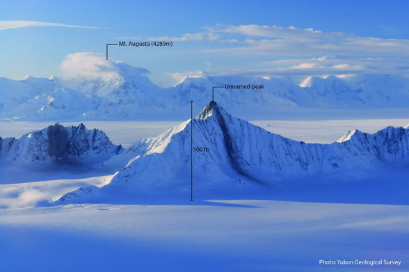
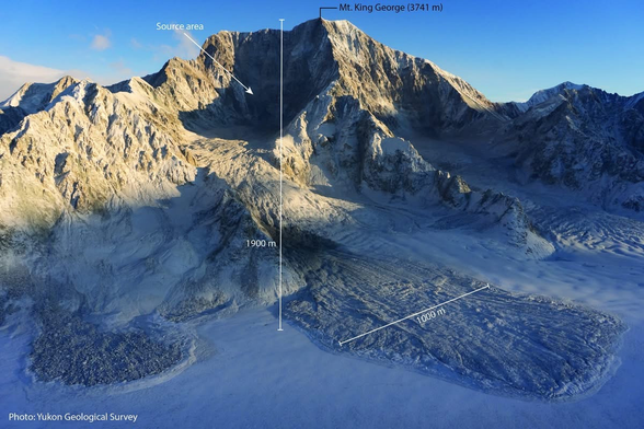
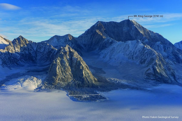
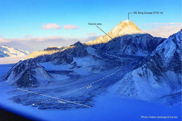
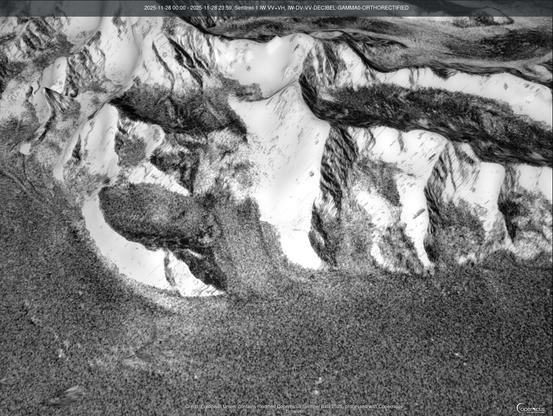
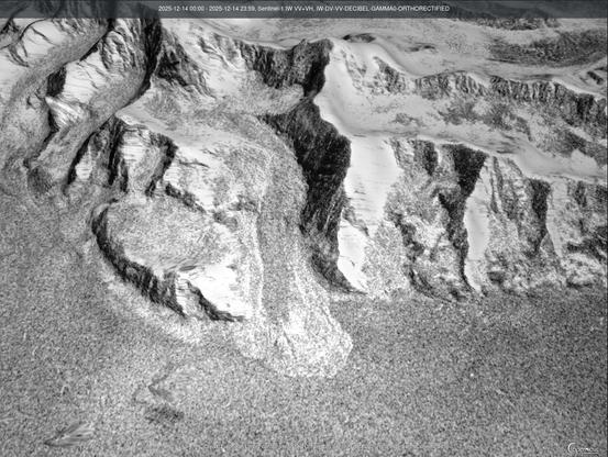
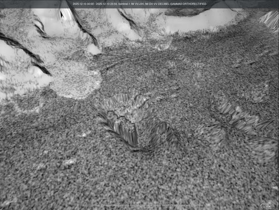
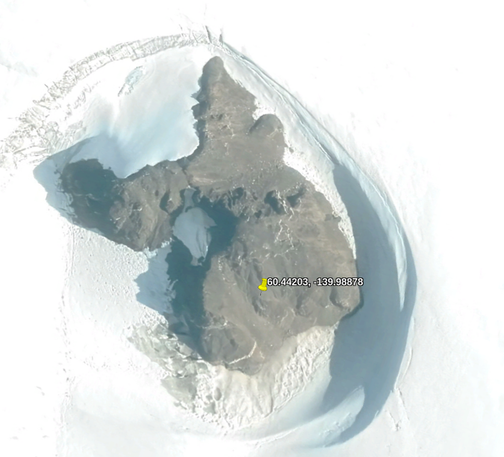
Oh wow, photos of the damage from the M7.0 earthquake in Alaska (originally Yukon Geological Survey on FB, via Dan Shugar). #earthquake #Alaska #landslide
Sentinel-1 before/after (in 3D) of that last one... Which I pulled off Copernicus a second ago. Wow! #MountKingGeorge #MtKingGeorge #geology #landslide #earthquake #RemoteImaging
This could be a synthetic aperture radar artifact, but at the base of that landslide is a strange topology anomaly. 🤔
Hmm, what funky object is radar reflective in a weird way on an ice sheet? Ice itself? Ground down granite? So many odds things out there, LOL.
Oooh, the second one, the strange ring, is this. I wonder if that's volcanic? There appears to be a lot of dust stuck to the walls of the snow around that structure, which is causing those reflections. 🤷 #mystery #geology

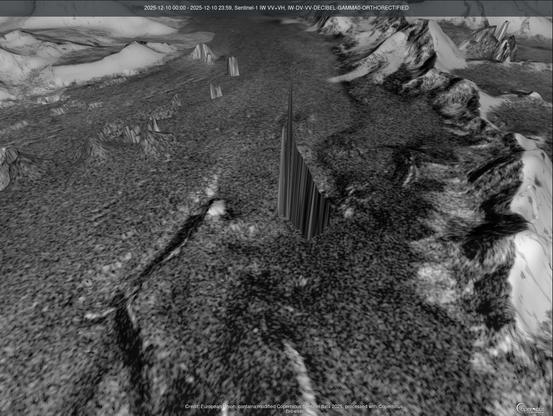
This one looks like there's a door in it 🤪

Secret villain lair?

Spaceship?

(probably the top of a buried mountain 😉 )

For the record, 60.4893, -139.9348

#mystery

Oooh, it's VERY radar reflective. Whatever it is. Super secret Canadian military base encased in a glacier? 🤪

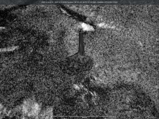
@ai6yr We find stuff like this a lot out in BF Nowhere and some of it is specific to the use of SAR and they use them to monitor movement etc

Integration of Corner Reflectors for the Monitoring of Mountain Glacier Areas with Sentinel-1 Time Series
https://www.mdpi.com/2072-4292/11/8/988

@cvvhrn Oooh, corner reflector on a glacier to monitor movement... that *WOULD* explain that strange signature!
@ai6yr You also get weird stuff like this and its almost always in the boundaries of of a military or restricted area (Edwards) which are calibration marks for satellite and airborne optical systems
Bevor Sie zu Google Maps weitergehen

@cvvhrn @ai6yr Amusingly, the calibration targets for optical measuring systems look exactly like that, just on a glass slide with the largest square only 10mm across.
@attoparsec @cvvhrn @ai6yr indeed they are both called “USAF target” regardless of scale!