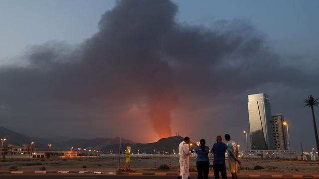
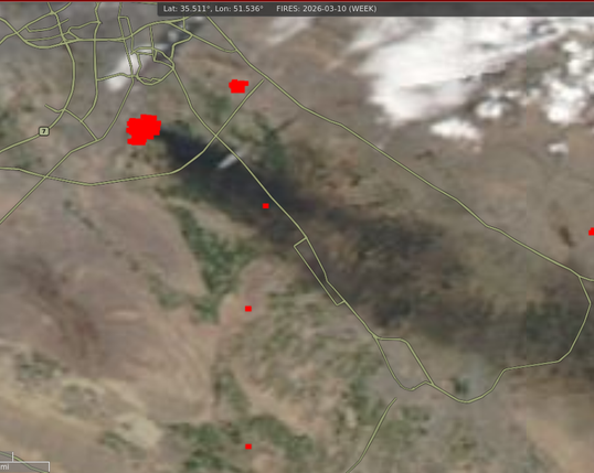
Hmm, wonder what is on fire over here today... #RemoteImaging
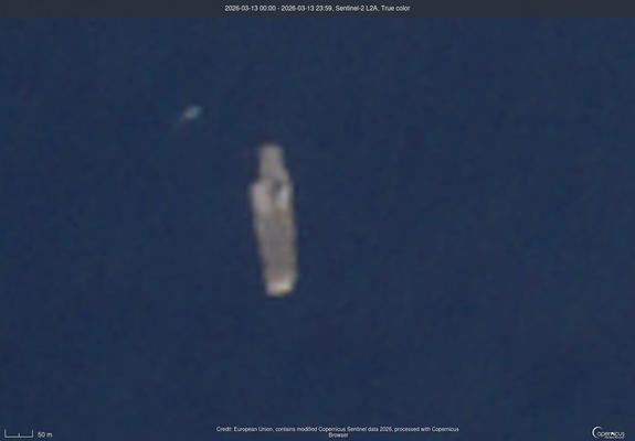
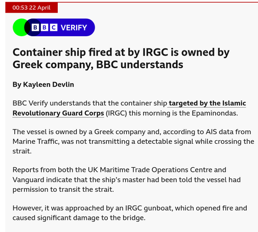
Interesting, this must be right before the IRGC boarded that ship! #Epaminondas
https://www.bbc.com/news/live/cx297218m9vt?post=asset%3A2304931f-2caa-42d3-afbb-a62203922dba#post
AFP/Reuters:
"...Satellite imaging company Planet Labs has said it will indefinitely withhold visuals of Iran and the region of conflict in the Middle East to comply with a request from United States President Donald Trump’s administration.
The US company announced the decision in an email to customers on Saturday, with news agencies quoting it as saying the government had asked satellite imagery providers to impose an “indefinite withhold of imagery”...."
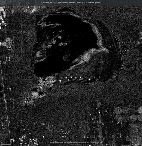
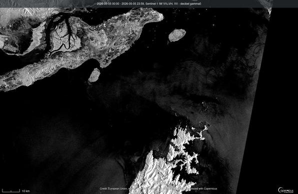
That can't be good... Looks like an oil slick a week or so ago near Kuwait. Must have been a tanker hit by the Iranians. (Sentinel-1 image, March 14, 2026)

CO2 emissions on a grand scale.
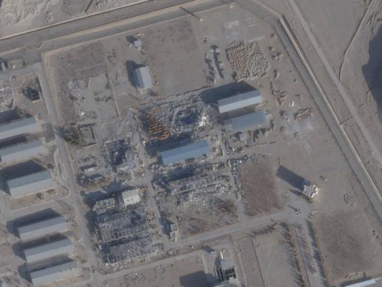
Tehran Oil Refinery the large patch of red (fire detected), the black is the smoke blowing from the oil refinery fire.
MODIS satellite.

Interesting... wonder how much of this was US pressure. 🤷 (not surprised at all at this)
Satellite firm places 96-hour embargo on Middle East war imagery