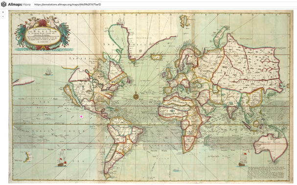
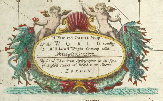
Using GPS in the year 1565
There’s a wonderful web app (“Allmaps Here”) that shows your GPS location on old maps. I love it.
https://www.verbeeld.be/2024/11/17/using-gps-in-the-year-1565/
Using GPS in the year 1565
There’s a wonderful web app (“Allmaps Here”) that shows your GPS location on old maps. I love it.
https://www.verbeeld.be/2024/11/17/using-gps-in-the-year-1565/
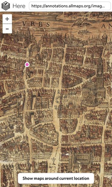
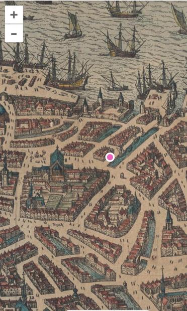
Using GPS on old city maps 🗺️
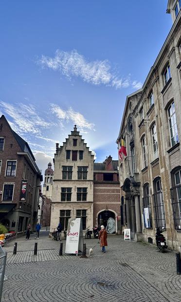
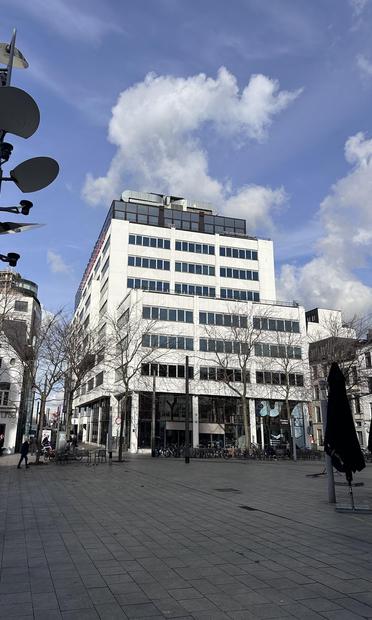
There used to be a canal where this big white office building is now. I’ve taken this photo from the location of the pink dot on the map.
How to place your GPS location on an old map near you: https://www.verbeeld.be/2024/11/17/using-gps-in-the-year-1565/
This specific map of Antwerp can be found here: https://here.allmaps.org/?url=https%3A%2F%2Fannotations.allmaps.org%2Fmaps%2Fc3cc246df5ba4455
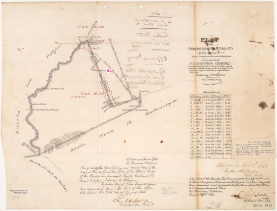
Here's an early map of our area in 1866. Palo Alto didn't exist yet.
https://here.allmaps.org/?url=https%3A%2F%2Fannotations.allmaps.org%2Fmaps%2Fac78651595c7cc97
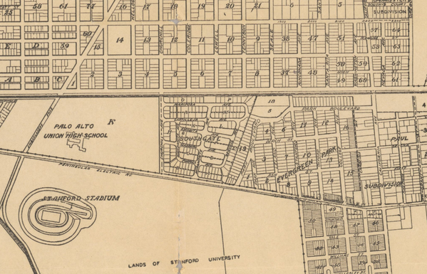
Palo Alto was founded in 1894. By 1926, the modern streets and schools were already there.
https://here.allmaps.org/?url=https%3A%2F%2Fannotations.allmaps.org%2Fmaps%2F410aa7f618181e9b
@mjambon You can always make the georeferencing of these "correct" maps even more correct, by using this editor: https://editor.allmaps.org/#/
(It's a rabbit hole… I'm spending way too much time there georeferencing and correcting old (local) maps…)
@mjambon I have a similar project at https://onamap.me/
For the lat/lon to pixels algorithm, I use a triangulation of the reference points to interpolate u,v pixel coords based on pixel coords of nearby reference points
https://turfjs.org/docs/api/tin
@mjambon yeah I'm sure for my maps I make mistakes. All I do for error checking is to perform the forwards warping onto satellite imagery in QGIS, then visually check for discrepancies between the two. With this I can catch gross errors. E.g. overlay:
https://www.facebook.com/photo/?fbid=315155968310211
Beyond that, perhaps you could, on a per point basis, leave the point out of the referencing process, then see where it gets mapped to. If it is mapped far away from its reference location, perhaps the reference is wrong.
@verbeeld this is UK only but quite fun too. Best on a big screen rather than a phone.
@verbeeld hi, very cool!
Wanted to share I've been doing something very similar since the start of last year.
I started doing this reverse geo referencing for hand-drawn tourist maps of towns, but also found it worked well for historical maps.
If anyone is in the UK, I've set up maps for London in 1561, Cambridge in 1575, and Oxford in 1605:
https://onamap.me/maps/London1561/
https://onamap.me/maps/Cambridge1575/
https://onamap.me/maps/Oxford1605/
I've been posting project updates on a facbook page:
https://www.facebook.com/me.onamap


