Guidance on GIS accessibility: Massachusetts’ GIS Accessibility Guide is a practical, comprehensive resource covering #accessibility in #webmaps, #storymaps, and static maps. Besides a substantial collection of structured recommendations and links to resources, the guide also...
https://spatialists.ch/posts/2026/05/27-guidance-on-gis-accessibility/ #GIS #GISchat #geospatial #SwissGIS

Guidance on GIS accessibility – Spatialists – geospatial news

Massachusetts’ GIS Accessibility Guide is a practical, comprehensive resource covering #accessibility in #webmaps, #storymaps, and static maps. Besides a substantial collection of structured recommendations and links to resources, the guide also publishes a running list of bug reports and enhancement requests, along with their status.

Spatialists – geospatial news
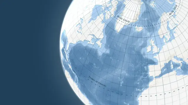
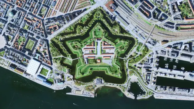
Want that atlas look and feel for your #webmaps? Need to show time zones on your location map? Check out our latest updates to find out more about our grid lines dataset and the latest updates to our satellite maps: maptiler.link/4sIGoS8
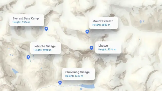
Easily determine the elevation for a single location, a large batch of points, or entire routes defined by a GeoJSON LineString or MultiLineString. Our Elevation API makes looking up altitude simple and flexible. Learn about all the parameters and see examples here: maptiler.link/3LMv32P #WebMaps
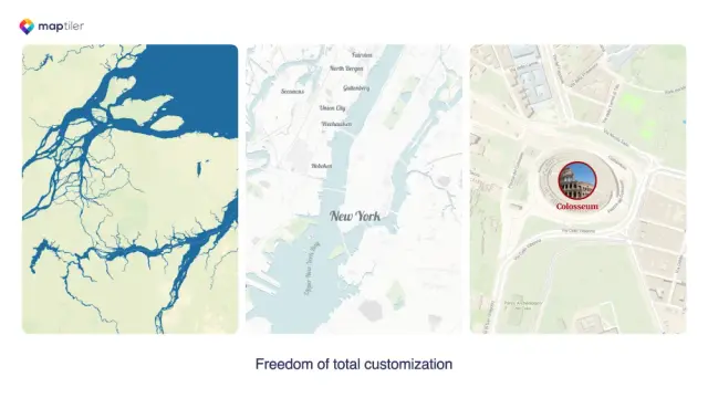
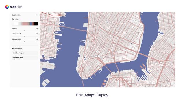
Learn about the map designer and how to customize your maps here: maptiler.link/3JsW5M3 #WebMaps #Maps# Cartography

Customizable map designs to fi...
Customizable map designs to fit your project

Customize colors, fonts, language & more with an easy to use editor for map designers & software developers.

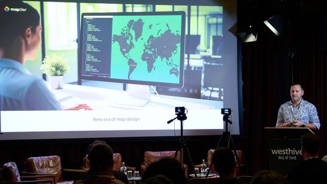
The easiest-to-use cartography tool on the web! Martin Elias shared all the details about the MapTiler map designer at #Connect25, explaining why it’s so intuitive. Find out what it can do; the link is in the first reply. #WebMaps #Cartography #Maps
We’ve spun a 🕸️ web map 🕸️ of haunted placenames here: maptiler.link/48TD6EK #Halloween #Cartography #SpookyMaps #WebMaps

Halloween map
Halloween map

Spooky Halloween map with custom icons for the scariest names.

👻 Happy Halloween from MapTiler! 🎃 We’ve brewed up something spooky for #map lovers: creepy icons on placenames that scream Halloween — bats, pumpkins, devils, & more. Explore… if you dare, the link is in the first reply! #Halloween #Cartography #SpookyMaps #WebMaps

With the #OpenStreetMap website’s new #VectorTiles, it’s nice to see that we can zoom in to level 23! Unfortunately, if the vector coordinates are not stored with OSM’s 7 decimal places for higher-zoom tiles, then what’s the point of all that zoom? 👀

#maps #Mapstodon #gischat #WebMaps

GeoBlazor Pro users also get the GroupLayer feature, which lets you organize and sort feature layers and tile layers into groups, which can then be toggled on/off, like in this country-highlighting demo.
#blazor #dotnet #arcgis #webmaps

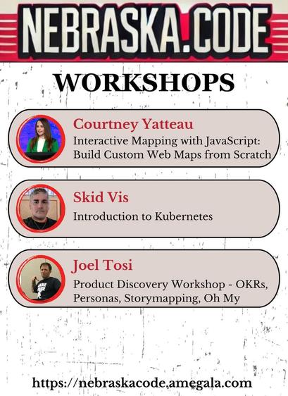
Courtney Yatteau, Skid Vis, and Joel Tosi have Full-Day Workshops this July at Nebraska.Code().

https://nebraskacode.amegala.com/

#javascript #kubernetes #OKRs #Technology #StoryMapping #TechWorkshop #lincoln
#TechConference #WebMaps @joeltosi

Nebraska.Code 2025 hosted on Whova

July 23 – 25, 2025, Lincoln, NE